Area Overview for LE6 0FS
Photos of LE6 0FS
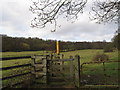
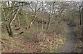
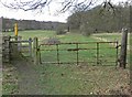
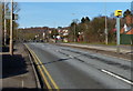
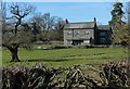
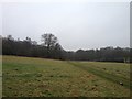
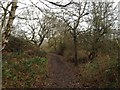
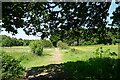
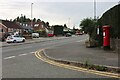
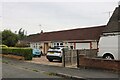
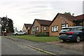
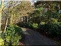
16 photos from this area
Area Information
Key information about the LE6 0FS including its size, population, and administrative classification.
- Area Type
- Postcode
- Area Size
- 66.7 hectares
- Population
- 1573
- Population Density
- 247 people/km²
House Prices in LE6 0FS
34
Properties
£244,538
Average Sold Price
£35,000
Lowest Price
£800,000
Highest Price
Showing 34 properties
| Address | Type | Beds | Baths | Last Sale Price | Last Sale Date | |
|---|---|---|---|---|---|---|
| 250 Markfield Road, Groby, Groby, LE6 0FS | Bungalow | 2 | 1 | £200,000 | Sep 2025 | |
| 204 Markfield Road, Groby, Groby, LE6 0FS | Semi-detached | 2 | 1 | £220,000 | Jun 2023 | |
| 224 Markfield Road, Groby, Groby, LE6 0FS | house | - | - | £250,000 | May 2023 | |
| 194 Markfield Road, Groby, Groby, LE6 0FS | Semi-detached | 3 | 1 | £239,950 | Apr 2022 | |
| 196 Markfield Road, Groby, Groby, LE6 0FS | Detached | 3 | 1 | £211,000 | Feb 2022 | |
| 200 Markfield Road, Groby, Groby, LE6 0FS | Semi-detached | 3 | 1 | £175,000 | Sep 2020 | |
| 190 Markfield Road, Groby, Groby, LE6 0FS | Detached | 4 | 1 | £485,000 | Oct 2019 | |
| 198 Markfield Road, Groby, Groby, LE6 0FS | house | - | - | £185,000 | Sep 2019 | |
| 246 Markfield Road, Groby, Groby, LE6 0FS | Bungalow | - | - | £242,000 | Feb 2019 | |
| 210 Markfield Road, Groby, Groby, LE6 0FS | Semi-detached | 2 | 1 | £162,000 | Sep 2018 |
Page 1 of 4
Energy Efficiency in LE6 0FS
Amenities
Schools
| Rank | School | Type | Entry gender | Ages |
|---|
Explore more schools in this area
Go to Schools tabDemographics
Household Size
Two person
most common
Accommodation Type
Houses
most common
Tenure
73
majority
Ethnic Group
White
most common
Religion
N/A
most common
Household Composition
N/A
most common
Age
47
median
Adults (30-64 years)
most common
Household Deprivation
N/A
with no deprivation
NS-SEC
32
in Lower managerial occupations
Explore more demographic insights in this area
Go to Demographics tabPlanning
Planning Constraints
- Flood RiskPremium
- Ramsar Wetland SitesPremium
- Area of Outstanding Natural BeautyPremium
- Protected Nature ReservePremium
- Protected WoodlandPremium