Area Overview for LE5 5SE
Photos of LE5 5SE
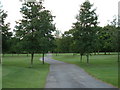
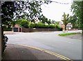
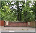
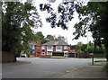
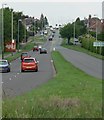
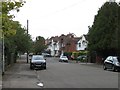
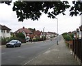
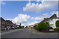
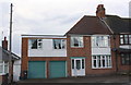
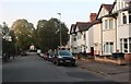
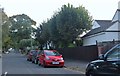
39 photos from this area
Area Information
Key information about the LE5 5SE including its size, population, and administrative classification.
- Area Type
- Postcode
- Area Size
- 1.4 hectares
- Population
- 1698
- Population Density
- 6589 people/km²
House Prices in LE5 5SE
23
Properties
£301,496
Average Sold Price
£77,000
Lowest Price
£500,000
Highest Price
Showing 23 properties
| Address | Type | Beds | Baths | Last Sale Price | Last Sale Date | |
|---|---|---|---|---|---|---|
| 81 Romway Road, Leicester, LE5 5SE | Detached | 5 | 2 | £424,950 | Mar 2025 | |
| 67 Romway Road, Leicester, LE5 5SE | house | 4 | - | £500,000 | Dec 2021 | |
| 93 Romway Road, Leicester, LE5 5SE | house | - | - | £320,000 | Mar 2021 | |
| 79 Romway Road, Leicester, LE5 5SE | Detached | 5 | 1 | £390,000 | Dec 2020 | |
| 101 Romway Road, Leicester, LE5 5SE | Semi-detached | 3 | 1 | £338,000 | Jun 2019 | |
| 95 Romway Road, Leicester, LE5 5SE | Detached | 4 | 1 | £388,000 | May 2018 | |
| 65 Romway Road, Leicester, LE5 5SE | house | 5 | - | £300,000 | Sep 2013 | |
| 89 Romway Road, Leicester, LE5 5SE | house | - | - | £295,000 | Jun 2007 | |
| 99 Romway Road, Leicester, LE5 5SE | house | - | - | £275,000 | Nov 2006 | |
| 105 Romway Road, Leicester, LE5 5SE | Detached | - | - | £150,000 | Aug 2001 |
Page 1 of 3
Energy Efficiency in LE5 5SE
Amenities
Schools
| Rank | School | Type | Entry gender | Ages |
|---|
Explore more schools in this area
Go to Schools tabDemographics
Household Size
Family (3-5 people)
most common
Accommodation Type
Houses
most common
Tenure
72
majority
Ethnic Group
asian_total
most common
Religion
N/A
most common
Household Composition
N/A
most common
Age
47
median
Adults (30-64 years)
most common
Household Deprivation
N/A
with no deprivation
NS-SEC
28
in Lower managerial occupations
Explore more demographic insights in this area
Go to Demographics tabPlanning
Planning Constraints
- Flood RiskPremium
- Ramsar Wetland SitesPremium
- Area of Outstanding Natural BeautyPremium
- Protected Nature ReservePremium
- Protected WoodlandPremium