Area Overview for LE5 5FX
Photos of LE5 5FX
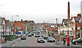
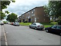
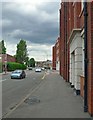
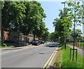
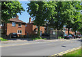
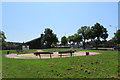
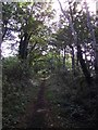
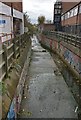
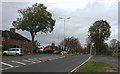
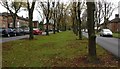
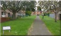
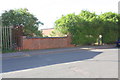
34 photos from this area
Area Information
Key information about the LE5 5FX including its size, population, and administrative classification.
- Area Type
- Postcode
- Area Size
- 5313 m²
- Population
- 1600
- Population Density
- 6312 people/km²
House Prices in LE5 5FX
16
Properties
£174,813
Average Sold Price
£36,000
Lowest Price
£300,000
Highest Price
Showing 16 properties
| Address | Type | Beds | Baths | Last Sale Price | Last Sale Date | |
|---|---|---|---|---|---|---|
| 16 Nansen Road, Leicester, LE5 5FX | house | - | - | £275,000 | Mar 2025 | |
| 34 Nansen Road, Leicester, LE5 5FX | house | - | - | £300,000 | Dec 2021 | |
| 28 Nansen Road, Leicester, LE5 5FX | house | - | - | £270,000 | Aug 2021 | |
| 40 Nansen Road, Leicester, LE5 5FX | Semi-detached | 3 | 1 | £181,500 | Apr 2017 | |
| 12 Nansen Road, Leicester, LE5 5FX | house | 3 | 1 | £159,000 | Dec 2010 | |
| 42 Nansen Road, Leicester, LE5 5FX | Detached | 3 | 1 | £120,000 | Jun 2006 | |
| 32 Nansen Road, Leicester, LE5 5FX | Terraced | - | - | £57,000 | Jul 2000 | |
| 14 Nansen Road, Leicester, LE5 5FX | house | - | - | £36,000 | Nov 1995 | |
| 22A Nansen Road, Leicester, LE5 5FX | Terraced | 4 | 2 | - | - | |
| 20 Nansen Road, Leicester, LE5 5FX | Semi-detached | 4 | 2 | - | - |
Page 1 of 2
Energy Efficiency in LE5 5FX
Amenities
Schools
| Rank | School | Type | Entry gender | Ages |
|---|
Explore more schools in this area
Go to Schools tabDemographics
Household Size
Family (3-5 people)
most common
Accommodation Type
Houses
most common
Tenure
68
majority
Ethnic Group
asian_total
most common
Religion
N/A
most common
Household Composition
N/A
most common
Age
47
median
Adults (30-64 years)
most common
Household Deprivation
N/A
with no deprivation
NS-SEC
19
in Lower managerial occupations
Explore more demographic insights in this area
Go to Demographics tabPlanning
Planning Constraints
- Flood RiskPremium
- Ramsar Wetland SitesPremium
- Area of Outstanding Natural BeautyPremium
- Protected Nature ReservePremium
- Protected WoodlandPremium