Area Overview for LE5 2RF
Photos of LE5 2RF
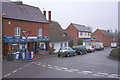
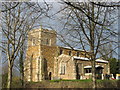
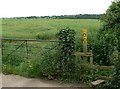
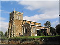
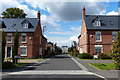
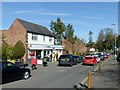
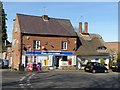
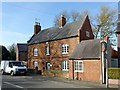
67 photos from this area
Area Information
Key information about the LE5 2RF including its size, population, and administrative classification.
- Area Type
- Postcode
- Area Size
- 1.1 hectares
- Population
- 1567
- Population Density
- 8069 people/km²
House Prices in LE5 2RF
35
Properties
£126,250
Average Sold Price
£51,000
Lowest Price
£242,000
Highest Price
Showing 35 properties
| Address | Type | Beds | Baths | Last Sale Price | Last Sale Date | |
|---|---|---|---|---|---|---|
| 36 St Austell Road, Leicester, LE5 2RF | house | 4 | - | £242,000 | May 2019 | |
| 32 St Austell Road, Leicester, LE5 2RF | Terraced | 2 | 1 | £126,000 | Jun 2017 | |
| 34 St Austell Road, Leicester, LE5 2RF | Terraced | 3 | 1 | £110,000 | Apr 2017 | |
| 52 St Austell Road, Leicester, LE5 2RF | Semi-detached | 2 | 1 | £137,000 | Mar 2017 | |
| 38 St Austell Road, Leicester, LE5 2RF | Terraced | 4 | 1 | £145,000 | Oct 2016 | |
| 60 St Austell Road, Leicester, LE5 2RF | Terraced | 2 | 2 | £106,000 | Aug 2015 | |
| 40 St Austell Road, Leicester, LE5 2RF | house | 3 | - | £93,000 | Oct 2010 | |
| 44 St Austell Road, Leicester, LE5 2RF | Terraced | - | - | £51,000 | Nov 2004 | |
| 12E St Austell Road, Leicester, LE5 2RF | Semi-detached | 2 | 1 | - | - | |
| 10 St Austell Road, Leicester, LE5 2RF | Bungalow | - | - | - | - |
Page 1 of 4
Energy Efficiency in LE5 2RF
Amenities
Schools
| Rank | School | Type | Entry gender | Ages |
|---|
Explore more schools in this area
Go to Schools tabDemographics
Household Size
One person
most common
Accommodation Type
Houses
most common
Tenure
38
majority
Ethnic Group
White
most common
Religion
N/A
most common
Household Composition
N/A
most common
Age
47
median
Adults (30-64 years)
most common
Household Deprivation
N/A
with no deprivation
NS-SEC
15
in Lower managerial occupations
Explore more demographic insights in this area
Go to Demographics tabPlanning
Planning Constraints
- Flood RiskPremium
- Ramsar Wetland SitesPremium
- Area of Outstanding Natural BeautyPremium
- Protected Nature ReservePremium
- Protected WoodlandPremium