Area Overview for LE5 2QN
Photos of LE5 2QN
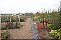
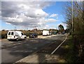
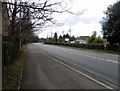
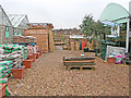
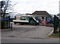

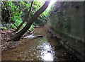
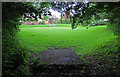
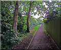
45 photos from this area
Area Information
Key information about the LE5 2QN including its size, population, and administrative classification.
- Area Type
- Postcode
- Area Size
- 1.0 hectares
- Population
- 1567
- Population Density
- 8069 people/km²
House Prices in LE5 2QN
39
Properties
£165,526
Average Sold Price
£30,000
Lowest Price
£270,000
Highest Price
Showing 39 properties
| Address | Type | Beds | Baths | Last Sale Price | Last Sale Date | |
|---|---|---|---|---|---|---|
| 27 Stornaway Road, Leicester, LE5 2QN | house | 3 | - | £175,000 | Feb 2025 | |
| 9 Stornaway Road, Leicester, LE5 2QN | Terraced | 3 | 1 | £207,000 | Dec 2024 | |
| 13 Stornaway Road, Leicester, LE5 2QN | Terraced | 3 | 1 | £270,000 | Nov 2024 | |
| 31 Stornaway Road, Leicester, LE5 2QN | house | 2 | 1 | £210,786 | Nov 2022 | |
| 21 Stornaway Road, Leicester, LE5 2QN | Terraced | 3 | 1 | £185,000 | Sep 2021 | |
| 29 Stornaway Road, Leicester, LE5 2QN | house | - | - | £178,000 | Jul 2021 | |
| 25 Stornaway Road, Leicester, LE5 2QN | house | - | - | £175,000 | May 2021 | |
| 11 Stornaway Road, Leicester, LE5 2QN | house | - | - | £165,000 | Mar 2019 | |
| 7 Stornaway Road, Leicester, LE5 2QN | house | - | - | £125,000 | Aug 2018 | |
| 23 Stornaway Road, Leicester, LE5 2QN | Terraced | - | - | £100,000 | May 2007 |
Page 1 of 4
Energy Efficiency in LE5 2QN
Amenities
Schools
| Rank | School | Type | Entry gender | Ages |
|---|
Explore more schools in this area
Go to Schools tabDemographics
Household Size
One person
most common
Accommodation Type
Houses
most common
Tenure
38
majority
Ethnic Group
White
most common
Religion
N/A
most common
Household Composition
N/A
most common
Age
47
median
Adults (30-64 years)
most common
Household Deprivation
N/A
with no deprivation
NS-SEC
15
in Lower managerial occupations
Explore more demographic insights in this area
Go to Demographics tabPlanning
Planning Constraints
- Flood RiskPremium
- Ramsar Wetland SitesPremium
- Area of Outstanding Natural BeautyPremium
- Protected Nature ReservePremium
- Protected WoodlandPremium