Area Overview for LE5 2PU
Photos of LE5 2PU
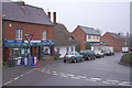
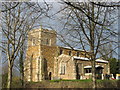
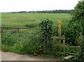
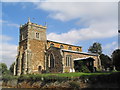
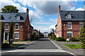
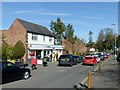
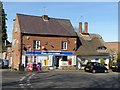
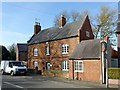
67 photos from this area
Area Information
Key information about the LE5 2PU including its size, population, and administrative classification.
- Area Type
- Postcode
- Area Size
- 8383 m²
- Population
- 1567
- Population Density
- 8069 people/km²
House Prices in LE5 2PU
29
Properties
£135,903
Average Sold Price
£76,430
Lowest Price
£190,000
Highest Price
Showing 29 properties
| Address | Type | Beds | Baths | Last Sale Price | Last Sale Date | |
|---|---|---|---|---|---|---|
| 75 Kinsdale Drive, Leicester, LE5 2PU | Terraced | 2 | 1 | £180,000 | May 2022 | |
| 73 Kinsdale Drive, Leicester, LE5 2PU | house | - | - | £173,500 | Jul 2021 | |
| 77 Kinsdale Drive, Leicester, LE5 2PU | Terraced | 2 | 1 | £175,000 | Nov 2020 | |
| 71 Kinsdale Drive, Leicester, LE5 2PU | house | - | - | £190,000 | Nov 2020 | |
| 54 Kinsdale Drive, Leicester, LE5 2PU | house | - | - | £170,000 | Jun 2019 | |
| 69 Kinsdale Drive, Leicester, LE5 2PU | Terraced | 3 | 1 | £145,000 | Jul 2018 | |
| 67 Kinsdale Drive, Leicester, LE5 2PU | Terraced | 3 | - | £105,000 | May 2015 | |
| 52 Kinsdale Drive, Leicester, LE5 2PU | Semi-detached | 3 | - | £105,000 | Oct 2014 | |
| 40 Kinsdale Drive, Leicester, LE5 2PU | house | 2 | 1 | £80,000 | Nov 2012 | |
| 95 Kinsdale Drive, Leicester, LE5 2PU | house | - | - | £95,000 | Dec 2006 |
Page 1 of 3
Energy Efficiency in LE5 2PU
Amenities
Schools
| Rank | School | Type | Entry gender | Ages |
|---|
Explore more schools in this area
Go to Schools tabDemographics
Household Size
One person
most common
Accommodation Type
Houses
most common
Tenure
38
majority
Ethnic Group
White
most common
Religion
N/A
most common
Household Composition
N/A
most common
Age
47
median
Adults (30-64 years)
most common
Household Deprivation
N/A
with no deprivation
NS-SEC
15
in Lower managerial occupations
Explore more demographic insights in this area
Go to Demographics tabPlanning
Planning Constraints
- Flood RiskPremium
- Ramsar Wetland SitesPremium
- Area of Outstanding Natural BeautyPremium
- Protected Nature ReservePremium
- Protected WoodlandPremium