Area Overview for LE5 2AE
Photos of LE5 2AE
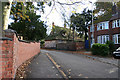
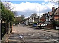
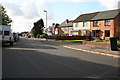
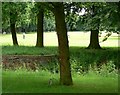
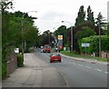
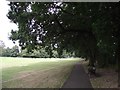
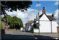
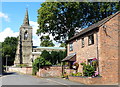
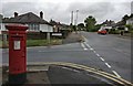
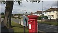
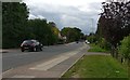
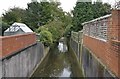
34 photos from this area
Area Information
Key information about the LE5 2AE including its size, population, and administrative classification.
- Area Type
- Postcode
- Area Size
- 9253 m²
- Population
- 1673
- Population Density
- 6158 people/km²
House Prices in LE5 2AE
23
Properties
£184,903
Average Sold Price
£45,000
Lowest Price
£350,000
Highest Price
Showing 23 properties
| Address | Type | Beds | Baths | Last Sale Price | Last Sale Date | |
|---|---|---|---|---|---|---|
| 51 Barbara Avenue, Leicester, LE5 2AE | Terraced | 3 | 1 | £273,000 | Dec 2025 | |
| 89 Barbara Avenue, Leicester, LE5 2AE | Detached | 3 | 1 | £350,000 | Mar 2023 | |
| 79 Barbara Avenue, Leicester, LE5 2AE | house | - | - | £282,000 | Sep 2022 | |
| 75 Barbara Avenue, Leicester, LE5 2AE | Semi-detached | 3 | 1 | £230,000 | Dec 2017 | |
| 59 Barbara Avenue, Leicester, LE5 2AE | Semi-detached | 6 | - | £260,000 | Mar 2016 | |
| 77 Barbara Avenue, Leicester, LE5 2AE | house | 3 | - | £200,000 | Jan 2016 | |
| 81 Barbara Avenue, Leicester, LE5 2AE | Semi-detached | 3 | - | £192,500 | Aug 2015 | |
| 91 Barbara Avenue, Leicester, LE5 2AE | house | 4 | - | £244,000 | Nov 2011 | |
| 55 Barbara Avenue, Leicester, LE5 2AE | house | 3 | - | £180,000 | Sep 2011 | |
| 53 Barbara Avenue, Leicester, LE5 2AE | house | - | - | £161,000 | Jul 2006 |
Page 1 of 3
Energy Efficiency in LE5 2AE
Amenities
Schools
| Rank | School | Type | Entry gender | Ages |
|---|
Explore more schools in this area
Go to Schools tabDemographics
Household Size
Family (3-5 people)
most common
Accommodation Type
Houses
most common
Tenure
84
majority
Ethnic Group
asian_total
most common
Religion
N/A
most common
Household Composition
N/A
most common
Age
47
median
Adults (30-64 years)
most common
Household Deprivation
N/A
with no deprivation
NS-SEC
26
in Lower managerial occupations
Explore more demographic insights in this area
Go to Demographics tabPlanning
Planning Constraints
- Flood RiskPremium
- Ramsar Wetland SitesPremium
- Area of Outstanding Natural BeautyPremium
- Protected Nature ReservePremium
- Protected WoodlandPremium