Area Overview for LE5 1BH
Photos of LE5 1BH
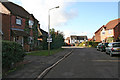
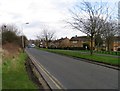
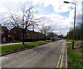
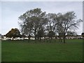
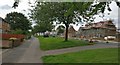
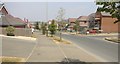
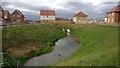
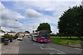
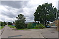
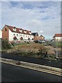
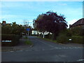
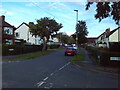
30 photos from this area
Area Information
Key information about the LE5 1BH including its size, population, and administrative classification.
- Area Type
- Postcode
- Area Size
- 4.0 hectares
- Population
- 2498
- Population Density
- 4814 people/km²
House Prices in LE5 1BH
85
Properties
£186,494
Average Sold Price
£95,895
Lowest Price
£460,000
Highest Price
Showing 85 properties
| Address | Type | Beds | Baths | Last Sale Price | Last Sale Date | |
|---|---|---|---|---|---|---|
| 53 Kestrel Lane, Leicester, LE5 1BH | Semi-detached | 2 | 1 | £225,000 | Aug 2024 | |
| 70 Kestrel Lane, Leicester, LE5 1BH | Detached | 4 | 2 | £360,000 | Jun 2024 | |
| 65 Kestrel Lane, Leicester, LE5 1BH | Detached | 4 | 2 | £325,000 | May 2024 | |
| 47 Kestrel Lane, Leicester, LE5 1BH | house | - | - | £185,000 | Nov 2023 | |
| 41 Kestrel Lane, Leicester, LE5 1BH | Detached | 5 | 2 | £380,000 | Jul 2023 | |
| 64 Kestrel Lane, Leicester, LE5 1BH | Retail | 4 | 1 | £330,000 | May 2022 | |
| 19 Kestrel Lane, Leicester, LE5 1BH | Detached | 4 | 3 | £327,500 | Jun 2021 | |
| 68 Kestrel Lane, Leicester, LE5 1BH | house | - | - | £305,500 | Feb 2021 | |
| 15 Kestrel Lane, Leicester, LE5 1BH | Detached | 4 | 3 | £460,000 | Jan 2021 | |
| 78 Kestrel Lane, Leicester, LE5 1BH | house | - | - | £230,000 | Jan 2021 |
Page 1 of 9
Energy Efficiency in LE5 1BH
Amenities
Schools
| Rank | School | Type | Entry gender | Ages |
|---|
Explore more schools in this area
Go to Schools tabDemographics
Household Size
Family (3-5 people)
most common
Accommodation Type
Houses
most common
Tenure
61
majority
Ethnic Group
asian_total
most common
Religion
N/A
most common
Household Composition
N/A
most common
Age
47
median
Adults (30-64 years)
most common
Household Deprivation
N/A
with no deprivation
NS-SEC
26
in Lower managerial occupations
Explore more demographic insights in this area
Go to Demographics tabPlanning
Planning Constraints
- Flood RiskPremium
- Ramsar Wetland SitesPremium
- Area of Outstanding Natural BeautyPremium
- Protected Nature ReservePremium
- Protected WoodlandPremium