Area Overview for LE5 1BA
Photos of LE5 1BA
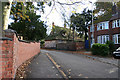
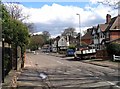
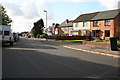
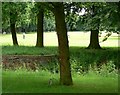
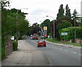
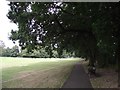
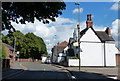
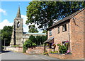
34 photos from this area
Area Information
Key information about the LE5 1BA including its size, population, and administrative classification.
- Area Type
- Postcode
- Area Size
- 4503 m²
- Population
- 2005
- Population Density
- 4479 people/km²
House Prices in LE5 1BA
12
Properties
£169,717
Average Sold Price
£56,500
Lowest Price
£375,000
Highest Price
Showing 12 properties
| Address | Type | Beds | Baths | Last Sale Price | Last Sale Date | |
|---|---|---|---|---|---|---|
| 2 West Drive, Leicester, LE5 1BA | Semi-detached | 3 | 2 | £375,000 | Jan 2025 | |
| 8 West Drive, Leicester, LE5 1BA | Semi-detached | 3 | 1 | £190,000 | Jun 2019 | |
| 12 West Drive, Leicester, LE5 1BA | house | 3 | - | £183,500 | Aug 2016 | |
| 3 West Drive, Leicester, LE5 1BA | Semi-detached | 3 | 1 | £153,000 | Dec 2015 | |
| 4 West Drive, Leicester, LE5 1BA | house | 3 | - | £167,500 | Jan 2011 | |
| 6 West Drive, Leicester, LE5 1BA | house | - | - | £150,000 | Jan 2008 | |
| 14 West Drive, Leicester, LE5 1BA | Semi-detached | - | - | £159,950 | Jun 2004 | |
| 18 West Drive, Leicester, LE5 1BA | Semi-detached | - | - | £92,000 | Aug 2002 | |
| 1 West Drive, Leicester, LE5 1BA | Semi-detached | 3 | 1 | £56,500 | Oct 1998 | |
| 20 West Drive, Leicester, LE5 1BA | Semi-detached | - | - | - | - |
Page 1 of 2
Energy Efficiency in LE5 1BA
Amenities
Schools
| Rank | School | Type | Entry gender | Ages |
|---|
Explore more schools in this area
Go to Schools tabDemographics
Household Size
Family (3-5 people)
most common
Accommodation Type
Houses
most common
Tenure
65
majority
Ethnic Group
asian_total
most common
Religion
N/A
most common
Household Composition
N/A
most common
Age
47
median
Adults (30-64 years)
most common
Household Deprivation
N/A
with no deprivation
NS-SEC
27
in Lower managerial occupations
Explore more demographic insights in this area
Go to Demographics tabPlanning
Planning Constraints
- Flood RiskPremium
- Ramsar Wetland SitesPremium
- Area of Outstanding Natural BeautyPremium
- Protected Nature ReservePremium
- Protected WoodlandPremium