Area Overview for LE5 0EZ
Photos of LE5 0EZ
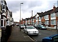
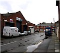
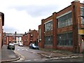
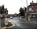
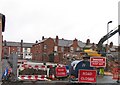
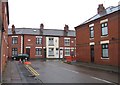
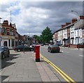
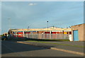
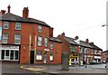
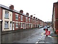
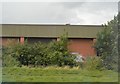
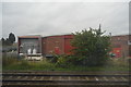
45 photos from this area
Area Information
Key information about the LE5 0EZ including its size, population, and administrative classification.
- Area Type
- Postcode
- Area Size
- 1.8 hectares
- Population
- 2710
- Population Density
- 8592 people/km²
House Prices in LE5 0EZ
49
Properties
£167,413
Average Sold Price
£33,000
Lowest Price
£390,000
Highest Price
Showing 49 properties
| Address | Type | Beds | Baths | Last Sale Price | Last Sale Date | |
|---|---|---|---|---|---|---|
| 115 Prestwold Road, Leicester, LE5 0EZ | Terraced | 3 | 2 | £295,000 | Mar 2025 | |
| 83 Prestwold Road, Leicester, LE5 0EZ | Semi-detached | 3 | 1 | £270,000 | Nov 2024 | |
| 151 Prestwold Road, Leicester, LE5 0EZ | house | - | - | £195,000 | Jul 2024 | |
| 101 Prestwold Road, Leicester, LE5 0EZ | Bungalow | 3 | 1 | £260,000 | May 2024 | |
| 121 Prestwold Road, Leicester, LE5 0EZ | house | - | - | £195,000 | Dec 2023 | |
| 139 Prestwold Road, Leicester, LE5 0EZ | Terraced | 3 | 1 | £251,000 | Jul 2023 | |
| 179 Prestwold Road, Leicester, LE5 0EZ | house | - | - | £390,000 | May 2023 | |
| 143 Prestwold Road, Leicester, LE5 0EZ | house | - | - | £250,000 | Jan 2023 | |
| 109 Prestwold Road, Leicester, LE5 0EZ | house | - | - | £220,000 | Jul 2022 | |
| 111 Prestwold Road, Leicester, LE5 0EZ | Terraced | 2 | - | £265,000 | Jul 2022 |
Page 1 of 5
Energy Efficiency in LE5 0EZ
Amenities
Schools
| Rank | School | Type | Entry gender | Ages |
|---|
Explore more schools in this area
Go to Schools tabDemographics
Household Size
Family (3-5 people)
most common
Accommodation Type
Houses
most common
Tenure
42
majority
Ethnic Group
asian_total
most common
Religion
N/A
most common
Household Composition
N/A
most common
Age
47
median
Adults (30-64 years)
most common
Household Deprivation
N/A
with no deprivation
NS-SEC
10
in Lower managerial occupations
Explore more demographic insights in this area
Go to Demographics tabPlanning
Planning Constraints
- Flood RiskPremium
- Ramsar Wetland SitesPremium
- Area of Outstanding Natural BeautyPremium
- Protected Nature ReservePremium
- Protected WoodlandPremium