Area Overview for LE5 0AP
Photos of LE5 0AP
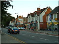

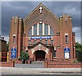
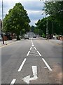
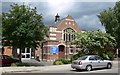
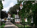
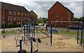
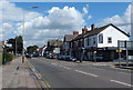

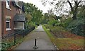
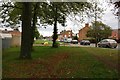
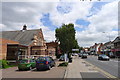
32 photos from this area
Area Information
Key information about the LE5 0AP including its size, population, and administrative classification.
- Area Type
- Postcode
- Area Size
- 2.7 hectares
- Population
- 1915
- Population Density
- 1329 people/km²
House Prices in LE5 0AP
51
Properties
£196,144
Average Sold Price
£36,500
Lowest Price
£456,000
Highest Price
Showing 51 properties
| Address | Type | Beds | Baths | Last Sale Price | Last Sale Date | |
|---|---|---|---|---|---|---|
| 12 Heybridge Road, Leicester, LE5 0AP | house | - | - | £365,000 | Apr 2021 | |
| 8 Heybridge Road, Leicester, LE5 0AP | house | - | - | £352,000 | Mar 2021 | |
| 19 Heybridge Road, Leicester, LE5 0AP | Detached | 4 | 2 | £335,000 | Dec 2020 | |
| 56 Heybridge Road, Leicester, LE5 0AP | Detached | 3 | 2 | £263,000 | Dec 2020 | |
| 34 Heybridge Road, Leicester, LE5 0AP | Detached | 5 | 2 | £456,000 | Jan 2020 | |
| 31 Heybridge Road, Leicester, LE5 0AP | Detached | 3 | 3 | £232,000 | Jan 2019 | |
| 26 Heybridge Road, Leicester, LE5 0AP | Detached | 4 | 2 | £330,000 | Dec 2018 | |
| 18 Heybridge Road, Leicester, LE5 0AP | Detached | 4 | 2 | £232,500 | Mar 2017 | |
| 39 Heybridge Road, Leicester, LE5 0AP | Semi-detached | 3 | - | £162,000 | Mar 2016 | |
| 16 Heybridge Road, Leicester, LE5 0AP | Detached | 4 | 2 | £236,000 | Jun 2015 |
Page 1 of 6
Energy Efficiency in LE5 0AP
Amenities
Schools
| Rank | School | Type | Entry gender | Ages |
|---|
Explore more schools in this area
Go to Schools tabDemographics
Household Size
Family (3-5 people)
most common
Accommodation Type
Houses
most common
Tenure
47
majority
Ethnic Group
asian_total
most common
Religion
N/A
most common
Household Composition
N/A
most common
Age
47
median
Adults (30-64 years)
most common
Household Deprivation
N/A
with no deprivation
NS-SEC
22
in Lower managerial occupations
Explore more demographic insights in this area
Go to Demographics tabPlanning
Planning Constraints
- Flood RiskPremium
- Ramsar Wetland SitesPremium
- Area of Outstanding Natural BeautyPremium
- Protected Nature ReservePremium
- Protected WoodlandPremium