Area Overview for LE4 9FL
Photos of LE4 9FL
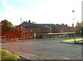
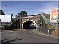
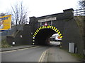
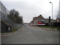
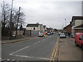
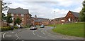
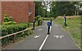
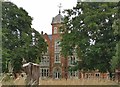
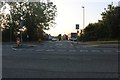
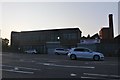
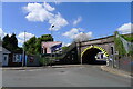
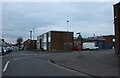
23 photos from this area
Area Information
Key information about the LE4 9FL including its size, population, and administrative classification.
- Area Type
- Postcode
- Area Size
- 1.0 hectares
- Population
- 2034
- Population Density
- 1286 people/km²
House Prices in LE4 9FL
26
Properties
£157,532
Average Sold Price
£25,000
Lowest Price
£350,000
Highest Price
Showing 26 properties
| Address | Type | Beds | Baths | Last Sale Price | Last Sale Date | |
|---|---|---|---|---|---|---|
| 21 St Ives Road, Leicester, LE4 9FL | Detached | - | - | £235,000 | May 2023 | |
| 24 St Ives Road, Leicester, LE4 9FL | Semi-detached | 3 | 1 | £275,500 | Jul 2022 | |
| 9 St Ives Road, Leicester, LE4 9FL | house | - | - | £250,000 | Sep 2021 | |
| 25 St Ives Road, Leicester, LE4 9FL | Bungalow | 3 | 1 | £350,000 | Aug 2021 | |
| 26 St Ives Road, Leicester, LE4 9FL | Bungalow | 2 | - | £160,000 | Jul 2021 | |
| 1B St Ives Road, Leicester, LE4 9FL | Semi-detached | 4 | 3 | £25,000 | May 2017 | |
| 3 St Ives Road, Leicester, LE4 9FL | Bungalow | 5 | 3 | £225,000 | Mar 2016 | |
| 28 St Ives Road, Leicester, LE4 9FL | Semi-detached | 2 | - | £125,000 | Dec 2014 | |
| 17 St Ives Road, Leicester, LE4 9FL | Detached | 3 | - | £156,000 | Nov 2011 | |
| 15 St Ives Road, Leicester, LE4 9FL | Semi-detached | - | - | £124,950 | May 2007 |
Page 1 of 3
Energy Efficiency in LE4 9FL
Amenities
Schools
| Rank | School | Type | Entry gender | Ages |
|---|
Explore more schools in this area
Go to Schools tabDemographics
Household Size
Family (3-5 people)
most common
Accommodation Type
Houses
most common
Tenure
74
majority
Ethnic Group
asian_total
most common
Religion
N/A
most common
Household Composition
N/A
most common
Age
47
median
Adults (30-64 years)
most common
Household Deprivation
N/A
with no deprivation
NS-SEC
23
in Lower managerial occupations
Explore more demographic insights in this area
Go to Demographics tabPlanning
Planning Constraints
- Flood RiskPremium
- Ramsar Wetland SitesPremium
- Area of Outstanding Natural BeautyPremium
- Protected Nature ReservePremium
- Protected WoodlandPremium