Area Overview for LE4 8LT
Photos of LE4 8LT
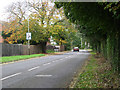
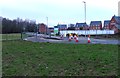
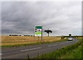
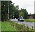
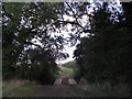
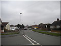
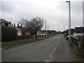
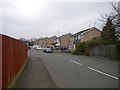
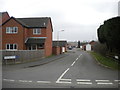
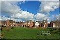
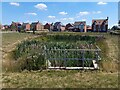
19 photos from this area
Area Information
Key information about the LE4 8LT including its size, population, and administrative classification.
- Area Type
- Postcode
- Area Size
- 1.8 hectares
- Population
- 1581
- Population Density
- 2517 people/km²
House Prices in LE4 8LT
22
Properties
£164,288
Average Sold Price
£57,000
Lowest Price
£266,000
Highest Price
Showing 22 properties
| Address | Type | Beds | Baths | Last Sale Price | Last Sale Date | |
|---|---|---|---|---|---|---|
| 4 Griffin Close, Thurmaston, LE4 8LT | Bungalow | 2 | 1 | £266,000 | Aug 2023 | |
| 20 Griffin Close, Thurmaston, LE4 8LT | Semi-detached | 2 | 1 | £260,000 | Dec 2022 | |
| 16 Griffin Close, Thurmaston, LE4 8LT | Bungalow | - | - | £205,000 | Jan 2021 | |
| 3 Griffin Close, Thurmaston, LE4 8LT | Bungalow | 2 | 1 | £199,200 | Dec 2019 | |
| 15 Griffin Close, Thurmaston, LE4 8LT | Semi-detached | 2 | 1 | £183,000 | Jul 2019 | |
| 12 Griffin Close, Thurmaston, LE4 8LT | Bungalow | 2 | - | £190,000 | Mar 2019 | |
| 17 Griffin Close, Thurmaston, LE4 8LT | Bungalow | 2 | 1 | £160,000 | Apr 2017 | |
| 6 Griffin Close, Thurmaston, LE4 8LT | Semi-detached | 2 | - | £155,000 | Nov 2015 | |
| 11 Griffin Close, Thurmaston, LE4 8LT | Bungalow | - | - | £142,000 | Jun 2015 | |
| 28 Griffin Close, Thurmaston, LE4 8LT | Bungalow | 2 | - | £155,000 | Feb 2015 |
Page 1 of 3
Energy Efficiency in LE4 8LT
Amenities
Schools
| Rank | School | Type | Entry gender | Ages |
|---|
Explore more schools in this area
Go to Schools tabDemographics
Household Size
One person
most common
Accommodation Type
Houses
most common
Tenure
71
majority
Ethnic Group
White
most common
Religion
N/A
most common
Household Composition
N/A
most common
Age
47
median
Adults (30-64 years)
most common
Household Deprivation
N/A
with no deprivation
NS-SEC
23
in Lower managerial occupations
Explore more demographic insights in this area
Go to Demographics tabPlanning
Planning Constraints
- Flood RiskPremium
- Ramsar Wetland SitesPremium
- Area of Outstanding Natural BeautyPremium
- Protected Nature ReservePremium
- Protected WoodlandPremium