Area Overview for LE4 8HB
Photos of LE4 8HB
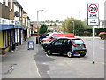
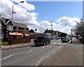
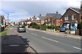
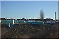
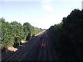
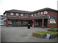
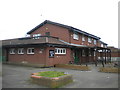
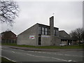
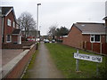

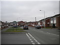
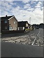
29 photos from this area
Area Information
Key information about the LE4 8HB including its size, population, and administrative classification.
- Area Type
- Postcode
- Area Size
- 2.4 hectares
- Population
- 1509
- Population Density
- 4594 people/km²
House Prices in LE4 8HB
26
Properties
£230,172
Average Sold Price
£60,000
Lowest Price
£465,000
Highest Price
Showing 26 properties
| Address | Type | Beds | Baths | Last Sale Price | Last Sale Date | |
|---|---|---|---|---|---|---|
| 42 Campbell Avenue, Thurmaston, LE4 8HB | Bungalow | 2 | 1 | £265,000 | Jun 2025 | |
| 48 Campbell Avenue, Thurmaston, LE4 8HB | Bungalow | 3 | 1 | £290,000 | May 2025 | |
| 20 Campbell Avenue, Thurmaston, LE4 8HB | house | - | - | £310,000 | Oct 2024 | |
| 40 Campbell Avenue, Thurmaston, LE4 8HB | Bungalow | 2 | 1 | £222,500 | May 2023 | |
| 44 Campbell Avenue, Thurmaston, LE4 8HB | Bungalow | 4 | 1 | £365,000 | Apr 2023 | |
| 26 Campbell Avenue, Thurmaston, LE4 8HB | Bungalow | - | - | £240,000 | May 2018 | |
| 32 Campbell Avenue, Thurmaston, LE4 8HB | Bungalow | 4 | 2 | £225,000 | Mar 2018 | |
| 18 Campbell Avenue, Thurmaston, LE4 8HB | Detached | 5 | 3 | £465,000 | Jul 2017 | |
| 22 Campbell Avenue, Thurmaston, LE4 8HB | Bungalow | 2 | - | £180,250 | Sep 2015 | |
| 24 Campbell Avenue, Thurmaston, LE4 8HB | Bungalow | 2 | - | £186,000 | Jan 2015 |
Page 1 of 3
Energy Efficiency in LE4 8HB
Amenities
Schools
| Rank | School | Type | Entry gender | Ages |
|---|
Explore more schools in this area
Go to Schools tabDemographics
Household Size
Family (3-5 people)
most common
Accommodation Type
Houses
most common
Tenure
88
majority
Ethnic Group
asian_total
most common
Religion
N/A
most common
Household Composition
N/A
most common
Age
47
median
Adults (30-64 years)
most common
Household Deprivation
N/A
with no deprivation
NS-SEC
29
in Lower managerial occupations
Explore more demographic insights in this area
Go to Demographics tabPlanning
Planning Constraints
- Flood RiskPremium
- Ramsar Wetland SitesPremium
- Area of Outstanding Natural BeautyPremium
- Protected Nature ReservePremium
- Protected WoodlandPremium