Area Overview for LE4 8DH
Photos of LE4 8DH
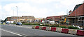

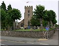
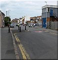
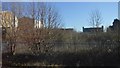
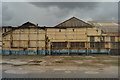
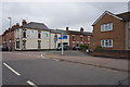
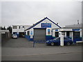
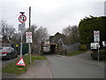
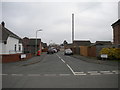
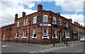
30 photos from this area
Area Information
Key information about the LE4 8DH including its size, population, and administrative classification.
- Area Type
- Postcode
- Area Size
- 2.2 hectares
- Population
- 1581
- Population Density
- 2517 people/km²
House Prices in LE4 8DH
34
Properties
£158,974
Average Sold Price
£46,000
Lowest Price
£265,000
Highest Price
Showing 34 properties
| Address | Type | Beds | Baths | Last Sale Price | Last Sale Date | |
|---|---|---|---|---|---|---|
| 151 Church Hill Road, Thurmaston, LE4 8DH | Semi-detached | 3 | 1 | £241,000 | Sep 2024 | |
| 180 Church Hill Road, Thurmaston, LE4 8DH | house | - | - | £189,000 | Apr 2023 | |
| 175 Church Hill Road, Thurmaston, LE4 8DH | Retail | 3 | 1 | £250,000 | Mar 2022 | |
| 188 Church Hill Road, Thurmaston, LE4 8DH | Semi-detached | 3 | - | £235,000 | Feb 2022 | |
| 172 Church Hill Road, Thurmaston, LE4 8DH | Bungalow | - | - | £265,000 | Sep 2021 | |
| 174 Church Hill Road, Thurmaston, LE4 8DH | house | - | - | £185,000 | May 2021 | |
| 153 Church Hill Road, Thurmaston, LE4 8DH | Bungalow | - | - | £190,500 | Apr 2021 | |
| 185 Church Hill Road, Thurmaston, LE4 8DH | Bungalow | - | - | £200,000 | Mar 2021 | |
| 194 Church Hill Road, Thurmaston, LE4 8DH | Semi-detached | 4 | 1 | £207,000 | Nov 2019 | |
| 191 Church Hill Road, Thurmaston, LE4 8DH | house | - | - | £186,000 | Jul 2017 |
Page 1 of 4
Energy Efficiency in LE4 8DH
Amenities
Schools
| Rank | School | Type | Entry gender | Ages |
|---|
Explore more schools in this area
Go to Schools tabDemographics
Household Size
One person
most common
Accommodation Type
Houses
most common
Tenure
71
majority
Ethnic Group
White
most common
Religion
N/A
most common
Household Composition
N/A
most common
Age
47
median
Adults (30-64 years)
most common
Household Deprivation
N/A
with no deprivation
NS-SEC
23
in Lower managerial occupations
Explore more demographic insights in this area
Go to Demographics tabPlanning
Planning Constraints
- Flood RiskPremium
- Ramsar Wetland SitesPremium
- Area of Outstanding Natural BeautyPremium
- Protected Nature ReservePremium
- Protected WoodlandPremium