Area Overview for LE4 6PJ
Photos of LE4 6PJ
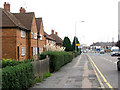
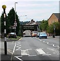
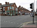
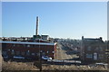
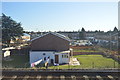
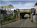
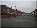
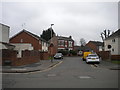
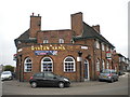
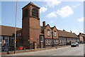
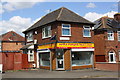
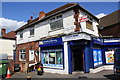
37 photos from this area
Area Information
Key information about the LE4 6PJ including its size, population, and administrative classification.
- Area Type
- Postcode
- Area Size
- 1.4 hectares
- Population
- 1348
- Population Density
- 9265 people/km²
House Prices in LE4 6PJ
34
Properties
£125,715
Average Sold Price
£33,000
Lowest Price
£270,000
Highest Price
Showing 34 properties
| Address | Type | Beds | Baths | Last Sale Price | Last Sale Date | |
|---|---|---|---|---|---|---|
| 10 Yorkshire Road, Leicester, LE4 6PJ | Mobile Home | 3 | 1 | £270,000 | Dec 2021 | |
| 12 Yorkshire Road, Leicester, LE4 6PJ | house | 3 | 1 | £226,000 | May 2018 | |
| 50 Yorkshire Road, Leicester, LE4 6PJ | house | - | - | £190,000 | May 2017 | |
| 66 Yorkshire Road, Leicester, LE4 6PJ | house | - | - | £250,000 | Jun 2016 | |
| 14 Yorkshire Road, Leicester, LE4 6PJ | Semi-detached | 3 | 1 | £179,000 | May 2015 | |
| 48 Yorkshire Road, Leicester, LE4 6PJ | Semi-detached | 3 | 1 | £213,000 | Nov 2014 | |
| 30 Yorkshire Road, Leicester, LE4 6PJ | Semi-detached | 3 | 2 | £158,000 | Dec 2012 | |
| 54 Yorkshire Road, Leicester, LE4 6PJ | Semi-detached | - | - | £120,000 | Aug 2008 | |
| 24 Yorkshire Road, Leicester, LE4 6PJ | Semi-detached | - | - | £171,000 | Dec 2006 | |
| 6 Yorkshire Road, Leicester, LE4 6PJ | Semi-detached | - | - | £54,000 | Dec 1999 |
Page 1 of 4
Energy Efficiency in LE4 6PJ
Amenities
Schools
| Rank | School | Type | Entry gender | Ages |
|---|
Explore more schools in this area
Go to Schools tabDemographics
Household Size
Family (3-5 people)
most common
Accommodation Type
Houses
most common
Tenure
74
majority
Ethnic Group
asian_total
most common
Religion
N/A
most common
Household Composition
N/A
most common
Age
47
median
Adults (30-64 years)
most common
Household Deprivation
N/A
with no deprivation
NS-SEC
16
in Lower managerial occupations
Explore more demographic insights in this area
Go to Demographics tabPlanning
Planning Constraints
- Flood RiskPremium
- Ramsar Wetland SitesPremium
- Area of Outstanding Natural BeautyPremium
- Protected Nature ReservePremium
- Protected WoodlandPremium