Area Overview for LE4 5LA
Photos of LE4 5LA
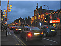
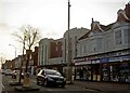
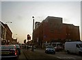
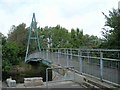
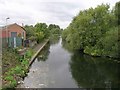
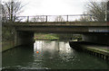
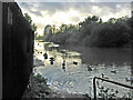
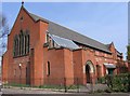
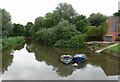
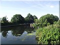
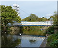
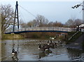
100 photos from this area
Area Information
Key information about the LE4 5LA including its size, population, and administrative classification.
- Area Type
- Postcode
- Area Size
- 3168 m²
- Population
- 1456
- Population Density
- 15878 people/km²
House Prices in LE4 5LA
24
Properties
£141,515
Average Sold Price
£25,001
Lowest Price
£350,000
Highest Price
Showing 24 properties
| Address | Type | Beds | Baths | Last Sale Price | Last Sale Date | |
|---|---|---|---|---|---|---|
| 12 Ellis Avenue, Leicester, LE4 5LA | house | - | - | £225,000 | Jun 2024 | |
| 34 Ellis Avenue, Leicester, LE4 5LA | house | - | - | £172,681 | Apr 2024 | |
| 4 Ellis Avenue, Leicester, LE4 5LA | Flat | 1 | 1 | £350,000 | Dec 2023 | |
| 40 Ellis Avenue, Leicester, LE4 5LA | Terraced | 2 | 1 | £200,000 | Feb 2019 | |
| 22 Ellis Avenue, Leicester, LE4 5LA | Terraced | 3 | 2 | £184,000 | Apr 2017 | |
| 2 ELLIS AVENUE, Leicester, LE4 5LA | Terraced | 3 | 2 | £125,000 | Oct 2009 | |
| 36 Ellis Avenue, Leicester, LE4 5LA | Terraced | - | - | £120,000 | Jul 2005 | |
| 6 Ellis Avenue, Leicester, LE4 5LA | Terraced | - | - | £120,000 | Jul 2003 | |
| 46 Ellis Avenue, Leicester, LE4 5LA | house | - | - | £94,000 | Apr 2003 | |
| 44 Ellis Avenue, Leicester, LE4 5LA | house | - | - | £46,500 | Jul 2001 |
Page 1 of 3
Energy Efficiency in LE4 5LA
Amenities
Schools
| Rank | School | Type | Entry gender | Ages |
|---|
Explore more schools in this area
Go to Schools tabDemographics
Household Size
Family (3-5 people)
most common
Accommodation Type
Houses
most common
Tenure
55
majority
Ethnic Group
asian_total
most common
Religion
N/A
most common
Household Composition
N/A
most common
Age
47
median
Adults (30-64 years)
most common
Household Deprivation
N/A
with no deprivation
NS-SEC
10
in Lower managerial occupations
Explore more demographic insights in this area
Go to Demographics tabPlanning
Planning Constraints
- Flood RiskPremium
- Ramsar Wetland SitesPremium
- Area of Outstanding Natural BeautyPremium
- Protected Nature ReservePremium
- Protected WoodlandPremium