Area Overview for LE4 4EB
Photos of LE4 4EB
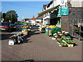
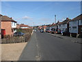
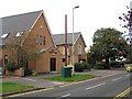
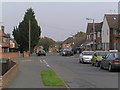
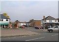
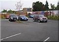
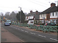
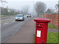
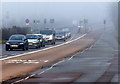
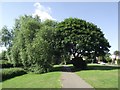
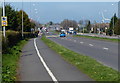
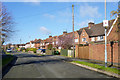
68 photos from this area
Area Information
Key information about the LE4 4EB including its size, population, and administrative classification.
- Area Type
- Postcode
- Area Size
- 8828 m²
- Population
- 1863
- Population Density
- 5507 people/km²
House Prices in LE4 4EB
21
Properties
£164,842
Average Sold Price
£59,000
Lowest Price
£350,000
Highest Price
Showing 21 properties
| Address | Type | Beds | Baths | Last Sale Price | Last Sale Date | |
|---|---|---|---|---|---|---|
| 40 The Crossways, Birstall, LE4 4EB | Semi-detached | 6 | 1 | £350,000 | May 2020 | |
| 10 The Crossways, Birstall, LE4 4EB | Semi-detached | 3 | 1 | £205,000 | Sep 2018 | |
| 42 The Crossways, Birstall, LE4 4EB | house | - | - | £160,000 | Jul 2017 | |
| 24 The Crossways, Birstall, LE4 4EB | Semi-detached | 3 | - | £188,000 | Dec 2015 | |
| 20 The Crossways, Birstall, LE4 4EB | house | - | - | £182,000 | Jul 2015 | |
| 30 The Crossways, Birstall, LE4 4EB | Semi-detached | 3 | - | £145,000 | Jun 2015 | |
| 22 The Crossways, Birstall, LE4 4EB | Semi-detached | 3 | - | £175,000 | May 2015 | |
| 26 The Crossways, Birstall, LE4 4EB | Semi-detached | 3 | 1 | £167,650 | Feb 2015 | |
| 36 The Crossways, Birstall, LE4 4EB | Semi-detached | - | - | £150,000 | Sep 2005 | |
| 38 The Crossways, Birstall, LE4 4EB | Semi-detached | - | - | £116,500 | Jan 2004 |
Page 1 of 3
Energy Efficiency in LE4 4EB
Amenities
Schools
| Rank | School | Type | Entry gender | Ages |
|---|
Explore more schools in this area
Go to Schools tabDemographics
Household Size
Family (3-5 people)
most common
Accommodation Type
Houses
most common
Tenure
79
majority
Ethnic Group
White
most common
Religion
N/A
most common
Household Composition
N/A
most common
Age
47
median
Adults (30-64 years)
most common
Household Deprivation
N/A
with no deprivation
NS-SEC
29
in Lower managerial occupations
Explore more demographic insights in this area
Go to Demographics tabPlanning
Planning Constraints
- Flood RiskPremium
- Ramsar Wetland SitesPremium
- Area of Outstanding Natural BeautyPremium
- Protected Nature ReservePremium
- Protected WoodlandPremium