Area Overview for LE4 4BJ
Photos of LE4 4BJ
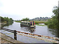
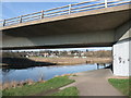
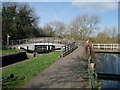
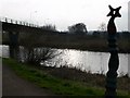
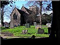
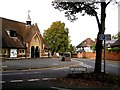
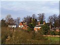
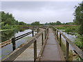
99 photos from this area
Area Information
Key information about the LE4 4BJ including its size, population, and administrative classification.
- Area Type
- Postcode
- Area Size
- 2.6 hectares
- Population
- 1726
- Population Density
- 2803 people/km²
House Prices in LE4 4BJ
23
Properties
£283,533
Average Sold Price
£118,000
Lowest Price
£575,000
Highest Price
Showing 23 properties
| Address | Type | Beds | Baths | Last Sale Price | Last Sale Date | |
|---|---|---|---|---|---|---|
| 503 Loughborough Road, Birstall, LE4 4BJ | Detached | 5 | 3 | £575,000 | Dec 2021 | |
| 519 Loughborough Road, Birstall, LE4 4BJ | Detached | 5 | 3 | £425,000 | Sep 2021 | |
| 487 Loughborough Road, Birstall, LE4 4BJ | Detached | 4 | - | £240,000 | Apr 2015 | |
| 495 Loughborough Road, Birstall, LE4 4BJ | Detached | 4 | - | £415,000 | Jul 2014 | |
| 481 Loughborough Road, Birstall, LE4 4BJ | Detached | 3 | 4 | £290,000 | Jun 2014 | |
| 509 Loughborough Road, Birstall, LE4 4BJ | house | 5 | - | £330,000 | Nov 2012 | |
| 499 Loughborough Road, Birstall, LE4 4BJ | house | - | - | £350,000 | Feb 2010 | |
| 473 Loughborough Road, Birstall, LE4 4BJ | Land | 4 | 2 | £294,000 | Aug 2007 | |
| 471 Loughborough Road, Birstall, LE4 4BJ | Detached | 4 | - | £235,000 | Aug 2006 | |
| 483 Loughborough Road, Birstall, LE4 4BJ | Detached | - | - | £305,000 | Jul 2006 |
Page 1 of 3
Energy Efficiency in LE4 4BJ
Amenities
Schools
| Rank | School | Type | Entry gender | Ages |
|---|
Explore more schools in this area
Go to Schools tabDemographics
Household Size
Two person
most common
Accommodation Type
Houses
most common
Tenure
85
majority
Ethnic Group
White
most common
Religion
N/A
most common
Household Composition
N/A
most common
Age
47
median
Adults (30-64 years)
most common
Household Deprivation
N/A
with no deprivation
NS-SEC
39
in Lower managerial occupations
Explore more demographic insights in this area
Go to Demographics tabPlanning
Planning Constraints
- Flood RiskPremium
- Ramsar Wetland SitesPremium
- Area of Outstanding Natural BeautyPremium
- Protected Nature ReservePremium
- Protected WoodlandPremium