Area Overview for LE4 3DD
Photos of LE4 3DD
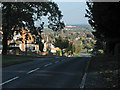
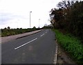
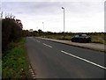
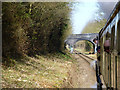
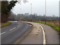
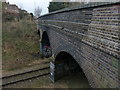
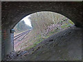
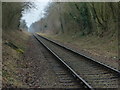
33 photos from this area
Area Information
Key information about the LE4 3DD including its size, population, and administrative classification.
- Area Type
- Postcode
- Area Size
- 6394 m²
- Population
- 1751
- Population Density
- 3838 people/km²
House Prices in LE4 3DD
14
Properties
£211,818
Average Sold Price
£63,500
Lowest Price
£377,000
Highest Price
Showing 14 properties
| Address | Type | Beds | Baths | Last Sale Price | Last Sale Date | |
|---|---|---|---|---|---|---|
| 18 Cliffwood Avenue, Birstall, LE4 3DD | Detached | 3 | 1 | £315,000 | Oct 2025 | |
| 35 Cliffwood Avenue, Birstall, LE4 3DD | Semi-detached | 4 | 3 | £377,000 | Sep 2023 | |
| 14 Cliffwood Avenue, Birstall, LE4 3DD | Semi-detached | 3 | 2 | £223,000 | Sep 2017 | |
| 12 Cliffwood Avenue, Birstall, LE4 3DD | Semi-detached | 3 | - | £190,000 | May 2015 | |
| 24 Cliffwood Avenue, Birstall, LE4 3DD | Semi-detached | 3 | - | £210,000 | Sep 2014 | |
| 27 Cliffwood Avenue, Birstall, LE4 3DD | Semi-detached | 4 | - | £210,000 | Aug 2013 | |
| 20 Cliffwood Avenue, Birstall, LE4 3DD | house | - | - | £240,000 | Dec 2012 | |
| 33 Cliffwood Avenue, Birstall, LE4 3DD | house | - | - | £176,000 | Apr 2009 | |
| 29 Cliffwood Avenue, Birstall, LE4 3DD | Semi-detached | - | - | £186,000 | May 2008 | |
| 16 Cliffwood Avenue, Birstall, LE4 3DD | Semi-detached | - | - | £139,500 | Apr 2004 |
Page 1 of 2
Energy Efficiency in LE4 3DD
Amenities
Schools
| Rank | School | Type | Entry gender | Ages |
|---|
Explore more schools in this area
Go to Schools tabDemographics
Household Size
Family (3-5 people)
most common
Accommodation Type
Houses
most common
Tenure
88
majority
Ethnic Group
White
most common
Religion
N/A
most common
Household Composition
N/A
most common
Age
47
median
Adults (30-64 years)
most common
Household Deprivation
N/A
with no deprivation
NS-SEC
41
in Lower managerial occupations
Explore more demographic insights in this area
Go to Demographics tabPlanning
Planning Constraints
- Flood RiskPremium
- Ramsar Wetland SitesPremium
- Area of Outstanding Natural BeautyPremium
- Protected Nature ReservePremium
- Protected WoodlandPremium