Area Overview for LE4 0SG
Photos of LE4 0SG
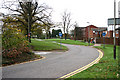
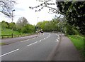
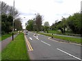
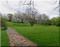
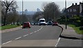
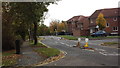
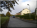
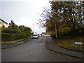
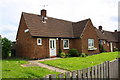
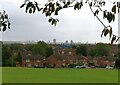
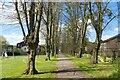
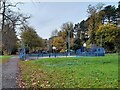
26 photos from this area
Area Information
Key information about the LE4 0SG including its size, population, and administrative classification.
- Area Type
- Postcode
- Area Size
- 1.5 hectares
- Population
- 1872
- Population Density
- 6446 people/km²
House Prices in LE4 0SG
64
Properties
£121,875
Average Sold Price
£35,000
Lowest Price
£205,000
Highest Price
Showing 64 properties
| Address | Type | Beds | Baths | Last Sale Price | Last Sale Date | |
|---|---|---|---|---|---|---|
| 46 Fowler Close, Leicester, LE4 0SG | house | - | - | £200,000 | Jun 2024 | |
| 4 Fowler Close, Leicester, LE4 0SG | Retail | 3 | 1 | £205,000 | Jun 2022 | |
| 38 Fowler Close, Leicester, LE4 0SG | house | - | - | £175,000 | Nov 2020 | |
| 2 Fowler Close, Leicester, LE4 0SG | house | 3 | 1 | £125,000 | Aug 2018 | |
| 36 Fowler Close, Leicester, LE4 0SG | Terraced | 4 | 2 | £85,000 | Apr 2015 | |
| 34 Fowler Close, Leicester, LE4 0SG | house | - | - | £92,000 | Feb 2005 | |
| 98 Fowler Close, Leicester, LE4 0SG | Terraced | - | - | £58,000 | Mar 2003 | |
| 18 Fowler Close, Leicester, LE4 0SG | house | - | - | £35,000 | Jul 1995 | |
| BROOKS HOUSE, 100 FOWLER CLOSE, Leicester, LE4 0SG | Flat | - | - | - | - | |
| 4, Brooks House, 100 Fowler Close, Leicester, LE4 0SG | Flat | - | - | - | - |
Page 1 of 7
Energy Efficiency in LE4 0SG
Amenities
Schools
| Rank | School | Type | Entry gender | Ages |
|---|
Explore more schools in this area
Go to Schools tabDemographics
Household Size
Family (3-5 people)
most common
Accommodation Type
Houses
most common
Tenure
23
majority
Ethnic Group
White
most common
Religion
N/A
most common
Household Composition
N/A
most common
Age
47
median
Adults (30-64 years)
most common
Household Deprivation
N/A
with no deprivation
NS-SEC
15
in Lower managerial occupations
Explore more demographic insights in this area
Go to Demographics tabPlanning
Planning Constraints
- Flood RiskPremium
- Ramsar Wetland SitesPremium
- Area of Outstanding Natural BeautyPremium
- Protected Nature ReservePremium
- Protected WoodlandPremium