Area Overview for LE4 0HH
Photos of LE4 0HH
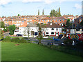
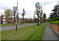
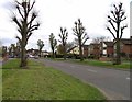
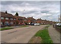
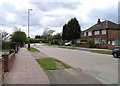
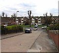
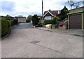
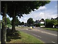
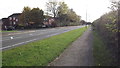
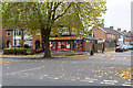
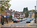
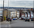
31 photos from this area
Area Information
Key information about the LE4 0HH including its size, population, and administrative classification.
- Area Type
- Postcode
- Area Size
- 1.0 hectares
- Population
- 1935
- Population Density
- 6100 people/km²
House Prices in LE4 0HH
30
Properties
£138,318
Average Sold Price
£44,500
Lowest Price
£330,000
Highest Price
Showing 30 properties
| Address | Type | Beds | Baths | Last Sale Price | Last Sale Date | |
|---|---|---|---|---|---|---|
| 29 Babingley Drive, Leicester, LE4 0HH | house | 4 | 1 | £330,000 | May 2022 | |
| 13 Babingley Drive, Leicester, LE4 0HH | Detached | 5 | 1 | £240,000 | Apr 2021 | |
| 42 Babingley Drive, Leicester, LE4 0HH | Semi-detached | 3 | 1 | £154,000 | Jul 2017 | |
| 28 Babingley Drive, Leicester, LE4 0HH | Semi-detached | 3 | - | £180,000 | Jun 2017 | |
| 52 Babingley Drive, Leicester, LE4 0HH | Semi-detached | 3 | - | £155,000 | Jun 2016 | |
| 26 Babingley Drive, Leicester, LE4 0HH | house | 3 | - | £116,000 | Dec 2011 | |
| 30 Babingley Drive, Leicester, LE4 0HH | house | 3 | - | £122,500 | Aug 2011 | |
| 23 Babingley Drive, Leicester, LE4 0HH | house | - | - | £190,000 | Apr 2010 | |
| 37 Babingley Drive, Leicester, LE4 0HH | Semi-detached | - | - | £150,000 | Dec 2006 | |
| 25 Babingley Drive, Leicester, LE4 0HH | Semi-detached | - | - | £105,000 | Apr 2005 |
Page 1 of 3
Energy Efficiency in LE4 0HH
Amenities
Schools
| Rank | School | Type | Entry gender | Ages |
|---|
Explore more schools in this area
Go to Schools tabDemographics
Household Size
Family (3-5 people)
most common
Accommodation Type
Houses
most common
Tenure
77
majority
Ethnic Group
asian_total
most common
Religion
N/A
most common
Household Composition
N/A
most common
Age
47
median
Adults (30-64 years)
most common
Household Deprivation
N/A
with no deprivation
NS-SEC
19
in Lower managerial occupations
Explore more demographic insights in this area
Go to Demographics tabPlanning
Planning Constraints
- Flood RiskPremium
- Ramsar Wetland SitesPremium
- Area of Outstanding Natural BeautyPremium
- Protected Nature ReservePremium
- Protected WoodlandPremium