Area Overview for LE3 9BJ
Photos of LE3 9BJ
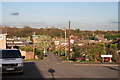
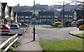
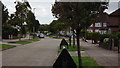
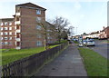
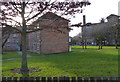
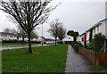
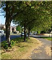
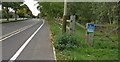
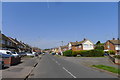
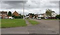
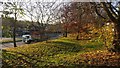
33 photos from this area
Area Information
Key information about the LE3 9BJ including its size, population, and administrative classification.
- Area Type
- Postcode
- Area Size
- 1.8 hectares
- Population
- 1706
- Population Density
- 3424 people/km²
House Prices in LE3 9BJ
24
Properties
£164,269
Average Sold Price
£59,398
Lowest Price
£330,000
Highest Price
Showing 24 properties
| Address | Type | Beds | Baths | Last Sale Price | Last Sale Date | |
|---|---|---|---|---|---|---|
| 36 Darlington Road, Leicester, LE3 9BJ | Detached | 3 | 1 | £312,000 | Nov 2024 | |
| 8 Darlington Road, Leicester, LE3 9BJ | Semi-detached | 3 | 1 | £256,000 | Sep 2023 | |
| 40 Darlington Road, Leicester, LE3 9BJ | Detached | 3 | 1 | £330,000 | Feb 2023 | |
| 50 Darlington Road, Leicester, LE3 9BJ | house | - | - | £285,000 | Dec 2021 | |
| 22 Darlington Road, Leicester, LE3 9BJ | house | - | - | £258,000 | May 2021 | |
| 42 Darlington Road, Leicester, LE3 9BJ | house | - | - | £155,000 | Aug 2013 | |
| 2 Darlington Road, Leicester, LE3 9BJ | house | - | - | £150,000 | Dec 2007 | |
| 52 Darlington Road, Leicester, LE3 9BJ | Detached | - | - | £175,000 | Dec 2006 | |
| 6 Darlington Road, Leicester, LE3 9BJ | Semi-detached | - | - | £115,000 | Jan 2006 | |
| 24 Darlington Road, Leicester, LE3 9BJ | Detached | - | - | £119,000 | Jan 2006 |
Page 1 of 3
Energy Efficiency in LE3 9BJ
Amenities
Schools
| Rank | School | Type | Entry gender | Ages |
|---|
Explore more schools in this area
Go to Schools tabDemographics
Household Size
One person
most common
Accommodation Type
Houses
most common
Tenure
59
majority
Ethnic Group
White
most common
Religion
N/A
most common
Household Composition
N/A
most common
Age
47
median
Adults (30-64 years)
most common
Household Deprivation
N/A
with no deprivation
NS-SEC
19
in Lower managerial occupations
Explore more demographic insights in this area
Go to Demographics tabPlanning
Planning Constraints
- Flood RiskPremium
- Ramsar Wetland SitesPremium
- Area of Outstanding Natural BeautyPremium
- Protected Nature ReservePremium
- Protected WoodlandPremium