Area Overview for LE3 8PU
Photos of LE3 8PU
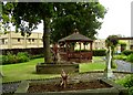
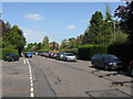
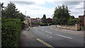
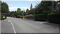
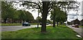
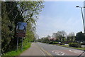

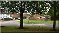
34 photos from this area
Area Information
Key information about the LE3 8PU including its size, population, and administrative classification.
- Area Type
- Postcode
- Area Size
- 2.7 hectares
- Population
- 1841
- Population Density
- 2208 people/km²
House Prices in LE3 8PU
27
Properties
£377,556
Average Sold Price
£119,950
Lowest Price
£676,000
Highest Price
Showing 27 properties
| Address | Type | Beds | Baths | Last Sale Price | Last Sale Date | |
|---|---|---|---|---|---|---|
| 5 Glenfield Frith Drive, Glenfield, LE3 8PU | Bungalow | 4 | 1 | £490,000 | Jun 2024 | |
| Fox Covert, 7 Glenfield Frith Drive, Glenfield, LE3 8PU | house | 5 | - | £676,000 | Sep 2021 | |
| 33 Glenfield Frith Drive, Glenfield, LE3 8PU | Detached | 4 | 1 | £615,000 | Sep 2021 | |
| 51 Glenfield Frith Drive, Glenfield, LE3 8PU | Detached | 3 | 1 | £325,000 | Nov 2019 | |
| 53 Glenfield Frith Drive, Glenfield, LE3 8PU | house | - | - | £342,500 | Jul 2018 | |
| 29 Glenfield Frith Drive, Glenfield, LE3 8PU | Detached | 4 | 1 | £600,000 | Jun 2018 | |
| 41 Glenfield Frith Drive, Glenfield, LE3 8PU | Detached | 5 | 3 | £461,000 | Feb 2017 | |
| 17 Glenfield Frith Drive, Glenfield, LE3 8PU | Detached | 4 | 3 | £475,000 | May 2015 | |
| The Limes, 1A Glenfield Frith Drive, Glenfield, LE3 8PU | Detached | 5 | 1 | £400,000 | Aug 2014 | |
| 49 Glenfield Frith Drive, Glenfield, LE3 8PU | house | 3 | - | £217,500 | Nov 2010 |
Page 1 of 3
Energy Efficiency in LE3 8PU
Amenities
Schools
| Rank | School | Type | Entry gender | Ages |
|---|
Explore more schools in this area
Go to Schools tabDemographics
Household Size
Family (3-5 people)
most common
Accommodation Type
Houses
most common
Tenure
89
majority
Ethnic Group
White
most common
Religion
N/A
most common
Household Composition
N/A
most common
Age
47
median
Adults (30-64 years)
most common
Household Deprivation
N/A
with no deprivation
NS-SEC
42
in Lower managerial occupations
Explore more demographic insights in this area
Go to Demographics tabPlanning
Planning Constraints
- Flood RiskPremium
- Ramsar Wetland SitesPremium
- Area of Outstanding Natural BeautyPremium
- Protected Nature ReservePremium
- Protected WoodlandPremium