Area Overview for LE3 8BP
Photos of LE3 8BP
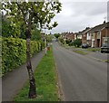
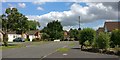
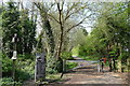
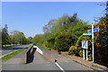
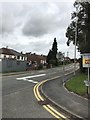
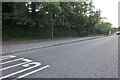
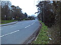
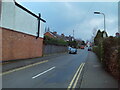
37 photos from this area
Area Information
Key information about the LE3 8BP including its size, population, and administrative classification.
- Area Type
- Postcode
- Area Size
- 1.2 hectares
- Population
- 1685
- Population Density
- 1911 people/km²
House Prices in LE3 8BP
25
Properties
£225,850
Average Sold Price
£66,000
Lowest Price
£485,000
Highest Price
Showing 25 properties
| Address | Type | Beds | Baths | Last Sale Price | Last Sale Date | |
|---|---|---|---|---|---|---|
| 41 Piers Road, Glenfield, LE3 8BP | Bungalow | 2 | 1 | £272,500 | Nov 2025 | |
| 45 Piers Road, Glenfield, LE3 8BP | Bungalow | 2 | 1 | £234,432 | Mar 2025 | |
| 35 Piers Road, Glenfield, LE3 8BP | Bungalow | - | - | £315,000 | Apr 2024 | |
| 11 Piers Road, Glenfield, LE3 8BP | Semi-detached | 3 | 1 | £230,000 | Aug 2023 | |
| 25 Piers Road, Glenfield, LE3 8BP | house | 3 | 1 | £270,000 | Oct 2022 | |
| 39 Piers Road, Glenfield, LE3 8BP | Bungalow | - | - | £275,000 | Dec 2021 | |
| 7 Piers Road, Glenfield, LE3 8BP | Semi-detached | 3 | 1 | £215,000 | Sep 2020 | |
| 31 Piers Road, Glenfield, LE3 8BP | house | - | - | £485,000 | Aug 2020 | |
| 3 Piers Road, Glenfield, LE3 8BP | house | - | - | £125,000 | Apr 2020 | |
| 15 Piers Road, Glenfield, LE3 8BP | Bungalow | 5 | 3 | £347,500 | Dec 2016 |
Page 1 of 3
Energy Efficiency in LE3 8BP
Amenities
Schools
| Rank | School | Type | Entry gender | Ages |
|---|
Explore more schools in this area
Go to Schools tabDemographics
Household Size
Two person
most common
Accommodation Type
Houses
most common
Tenure
74
majority
Ethnic Group
White
most common
Religion
N/A
most common
Household Composition
N/A
most common
Age
47
median
Adults (30-64 years)
most common
Household Deprivation
N/A
with no deprivation
NS-SEC
32
in Lower managerial occupations
Explore more demographic insights in this area
Go to Demographics tabPlanning
Planning Constraints
- Flood RiskPremium
- Ramsar Wetland SitesPremium
- Area of Outstanding Natural BeautyPremium
- Protected Nature ReservePremium
- Protected WoodlandPremium