Area Overview for LE3 6DH
Photos of LE3 6DH
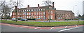
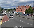
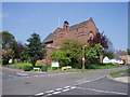
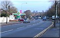
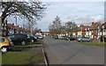
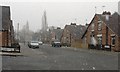
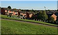
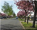
41 photos from this area
Area Information
Key information about the LE3 6DH including its size, population, and administrative classification.
- Area Type
- Postcode
- Area Size
- 4169 m²
- Population
- 1621
- Population Density
- 5660 people/km²
House Prices in LE3 6DH
14
Properties
£136,464
Average Sold Price
£38,000
Lowest Price
£230,000
Highest Price
Showing 14 properties
| Address | Type | Beds | Baths | Last Sale Price | Last Sale Date | |
|---|---|---|---|---|---|---|
| 93 Glenfield Road, Leicester, LE3 6DH | Semi-detached | 3 | 1 | £230,000 | Mar 2025 | |
| 107 Glenfield Road, Leicester, LE3 6DH | house | - | - | £225,000 | Dec 2019 | |
| 117 Glenfield Road, Leicester, LE3 6DH | Detached | 3 | - | £200,000 | Mar 2016 | |
| 115 Glenfield Road, Leicester, LE3 6DH | Semi-detached | 3 | - | £168,500 | Dec 2015 | |
| 97 Glenfield Road, Leicester, LE3 6DH | house | 3 | - | £129,500 | Jul 2013 | |
| 105 Glenfield Road, Leicester, LE3 6DH | house | - | - | £110,000 | Sep 2011 | |
| 95 Glenfield Road, Leicester, LE3 6DH | Semi-detached | - | - | £129,350 | Sep 2008 | |
| 91 Glenfield Road, Leicester, LE3 6DH | Semi-detached | - | - | £116,750 | Jan 2008 | |
| 109 Glenfield Road, Leicester, LE3 6DH | Semi-detached | 3 | 1 | £82,000 | Oct 2002 | |
| 99 Glenfield Road, Leicester, LE3 6DH | Semi-detached | - | - | £72,000 | Mar 2002 |
Page 1 of 2
Energy Efficiency in LE3 6DH
Amenities
Schools
| Rank | School | Type | Entry gender | Ages |
|---|
Explore more schools in this area
Go to Schools tabDemographics
Household Size
One person
most common
Accommodation Type
Houses
most common
Tenure
58
majority
Ethnic Group
White
most common
Religion
N/A
most common
Household Composition
N/A
most common
Age
47
median
Adults (30-64 years)
most common
Household Deprivation
N/A
with no deprivation
NS-SEC
26
in Lower managerial occupations
Explore more demographic insights in this area
Go to Demographics tabPlanning
Planning Constraints
- Flood RiskPremium
- Ramsar Wetland SitesPremium
- Area of Outstanding Natural BeautyPremium
- Protected Nature ReservePremium
- Protected WoodlandPremium