Area Overview for LE3 2AT
Photos of LE3 2AT
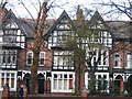
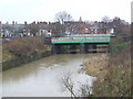
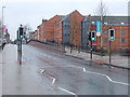
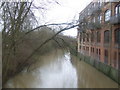
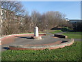
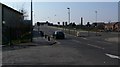
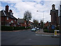
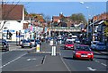
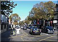
100 photos from this area
Area Information
Key information about the LE3 2AT including its size, population, and administrative classification.
- Area Type
- Postcode
- Area Size
- 9237 m²
- Population
- 1918
- Population Density
- 11876 people/km²
House Prices in LE3 2AT
53
Properties
£121,524
Average Sold Price
£24,550
Lowest Price
£200,000
Highest Price
Showing 53 properties
| Address | Type | Beds | Baths | Last Sale Price | Last Sale Date | |
|---|---|---|---|---|---|---|
| 60 Raymond Road, Leicester, LE3 2AT | Terraced | 3 | 1 | £200,000 | Sep 2025 | |
| 66 Raymond Road, Leicester, LE3 2AT | Terraced | 3 | 1 | £190,000 | Jun 2024 | |
| 79 Raymond Road, Leicester, LE3 2AT | Terraced | 2 | 1 | £172,000 | Nov 2023 | |
| 78 Raymond Road, Leicester, LE3 2AT | Terraced | 2 | 1 | £160,000 | May 2023 | |
| 61 Raymond Road, Leicester, LE3 2AT | Terraced | 2 | 1 | £152,500 | May 2023 | |
| 42 Raymond Road, Leicester, LE3 2AT | Terraced | 3 | 1 | £185,000 | Dec 2022 | |
| 84 Raymond Road, Leicester, LE3 2AT | Terraced | 2 | 1 | £177,500 | May 2022 | |
| 62 Raymond Road, Leicester, LE3 2AT | house | - | - | £180,000 | Jan 2022 | |
| 74 Raymond Road, Leicester, LE3 2AT | Terraced | 3 | 1 | £166,000 | Dec 2021 | |
| 48 Raymond Road, Leicester, LE3 2AT | Terraced | 2 | 1 | £172,500 | Nov 2021 |
Page 1 of 6
Energy Efficiency in LE3 2AT
Amenities
Schools
| Rank | School | Type | Entry gender | Ages |
|---|
Explore more schools in this area
Go to Schools tabDemographics
Household Size
Family (3-5 people)
most common
Accommodation Type
Houses
most common
Tenure
33
majority
Ethnic Group
White
most common
Religion
N/A
most common
Household Composition
N/A
most common
Age
47
median
Adults (30-64 years)
most common
Household Deprivation
N/A
with no deprivation
NS-SEC
19
in Lower managerial occupations
Explore more demographic insights in this area
Go to Demographics tabPlanning
Planning Constraints
- Flood RiskPremium
- Ramsar Wetland SitesPremium
- Area of Outstanding Natural BeautyPremium
- Protected Nature ReservePremium
- Protected WoodlandPremium