Area Overview for LE3 1AX
Photos of LE3 1AX
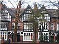
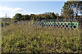
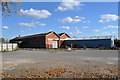
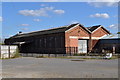
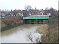
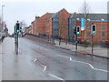
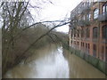
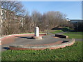
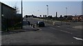
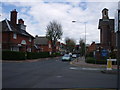
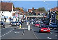
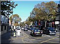
100 photos from this area
Area Information
Key information about the LE3 1AX including its size, population, and administrative classification.
- Area Type
- Postcode
- Area Size
- 7848 m²
- Population
- 1522
- Population Density
- 7825 people/km²
House Prices in LE3 1AX
40
Properties
£128,294
Average Sold Price
£38,000
Lowest Price
£280,000
Highest Price
Showing 40 properties
| Address | Type | Beds | Baths | Last Sale Price | Last Sale Date | |
|---|---|---|---|---|---|---|
| 37 Winchester Avenue, Leicester, LE3 1AX | Terraced | 3 | 1 | £170,000 | Sep 2020 | |
| 17 Winchester Avenue, Leicester, LE3 1AX | Semi-detached | 5 | 2 | £140,000 | Sep 2017 | |
| 31 Winchester Avenue, Leicester, LE3 1AX | house | - | - | £280,000 | Aug 2017 | |
| 43 Winchester Avenue, Leicester, LE3 1AX | house | - | - | £165,000 | Jun 2016 | |
| 51 Winchester Avenue, Leicester, LE3 1AX | house | 3 | - | £151,000 | May 2013 | |
| 15 Winchester Avenue, Leicester, LE3 1AX | Terraced | 5 | 2 | £134,500 | Jun 2012 | |
| 29 Winchester Avenue, Leicester, LE3 1AX | house | 1 | - | £121,000 | May 2012 | |
| 23 Winchester Avenue, Leicester, LE3 1AX | Terraced | 5 | 2 | £128,700 | Sep 2010 | |
| 47 Winchester Avenue, Leicester, LE3 1AX | Terraced | - | - | £152,000 | Jan 2008 | |
| 45 Winchester Avenue, Leicester, LE3 1AX | house | 4 | - | £125,000 | Jun 2007 |
Page 1 of 4
Energy Efficiency in LE3 1AX
Amenities
Schools
| Rank | School | Type | Entry gender | Ages |
|---|
Explore more schools in this area
Go to Schools tabDemographics
Household Size
Family (3-5 people)
most common
Accommodation Type
Houses
most common
Tenure
42
majority
Ethnic Group
White
most common
Religion
N/A
most common
Household Composition
N/A
most common
Age
47
median
Adults (30-64 years)
most common
Household Deprivation
N/A
with no deprivation
NS-SEC
18
in Lower managerial occupations
Explore more demographic insights in this area
Go to Demographics tabPlanning
Planning Constraints
- Flood RiskPremium
- Ramsar Wetland SitesPremium
- Area of Outstanding Natural BeautyPremium
- Protected Nature ReservePremium
- Protected WoodlandPremium