Area Overview for LE3 0BB
Photos of LE3 0BB
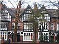
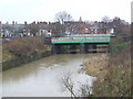
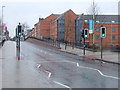
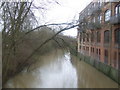
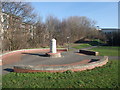
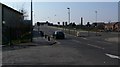
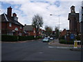
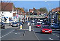
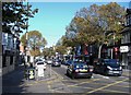
100 photos from this area
Area Information
Key information about the LE3 0BB including its size, population, and administrative classification.
- Area Type
- Postcode
- Area Size
- 3442 m²
- Population
- 1512
- Population Density
- 7290 people/km²
House Prices in LE3 0BB
29
Properties
£109,907
Average Sold Price
£33,000
Lowest Price
£190,000
Highest Price
Showing 29 properties
| Address | Type | Beds | Baths | Last Sale Price | Last Sale Date | |
|---|---|---|---|---|---|---|
| 82 Norman Street, Leicester, LE3 0BB | Terraced | 4 | 2 | £136,000 | Nov 2024 | |
| 64 Norman Street, Leicester, LE3 0BB | Terraced | 2 | 1 | £138,500 | Nov 2024 | |
| 72 Norman Street, Leicester, LE3 0BB | Terraced | 2 | 1 | £150,000 | Jun 2024 | |
| 84 Norman Street, Leicester, LE3 0BB | Terraced | 3 | 1 | £160,000 | Aug 2023 | |
| 78 Norman Street, Leicester, LE3 0BB | Terraced | 2 | 1 | £190,000 | May 2022 | |
| 76 Norman Street, Leicester, LE3 0BB | Terraced | 3 | 1 | £160,000 | May 2021 | |
| 51 Norman Street, Leicester, LE3 0BB | Terraced | 2 | 1 | £138,000 | Dec 2019 | |
| 68 Norman Street, Leicester, LE3 0BB | Terraced | 2 | 1 | £140,000 | Nov 2019 | |
| 59 Norman Street, Leicester, LE3 0BB | Terraced | 2 | 1 | £139,950 | Sep 2019 | |
| 66 Norman Street, Leicester, LE3 0BB | Terraced | 2 | 1 | £100,500 | May 2019 |
Page 1 of 3
Energy Efficiency in LE3 0BB
Amenities
Schools
| Rank | School | Type | Entry gender | Ages |
|---|
Explore more schools in this area
Go to Schools tabDemographics
Household Size
Family (3-5 people)
most common
Accommodation Type
Flats
most common
Tenure
7
majority
Ethnic Group
White
most common
Religion
N/A
most common
Household Composition
N/A
most common
Age
22
median
Young Adults (15-29 years)
most common
Household Deprivation
N/A
with no deprivation
NS-SEC
14
in Lower managerial occupations
Explore more demographic insights in this area
Go to Demographics tabPlanning
Planning Constraints
- Flood RiskPremium
- Ramsar Wetland SitesPremium
- Area of Outstanding Natural BeautyPremium
- Protected Nature ReservePremium
- Protected WoodlandPremium