Area Overview for LE2 9DD
Photos of LE2 9DD
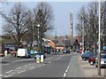
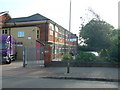
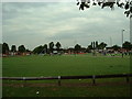
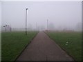
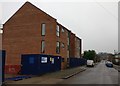
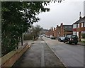
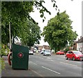
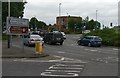
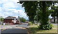
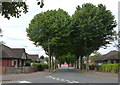
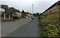
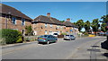
41 photos from this area
Area Information
Key information about the LE2 9DD including its size, population, and administrative classification.
- Area Type
- Postcode
- Area Size
- 1.4 hectares
- Population
- 1772
- Population Density
- 2462 people/km²
House Prices in LE2 9DD
44
Properties
£131,288
Average Sold Price
£75,000
Lowest Price
£225,000
Highest Price
Showing 44 properties
| Address | Type | Beds | Baths | Last Sale Price | Last Sale Date | |
|---|---|---|---|---|---|---|
| 76 Tamerton Road, Leicester, LE2 9DD | house | - | - | £225,000 | Sep 2025 | |
| 72 Tamerton Road, Leicester, LE2 9DD | Semi-detached | 3 | 1 | £191,000 | Jun 2023 | |
| 66 Tamerton Road, Leicester, LE2 9DD | Semi-detached | 3 | 1 | £223,400 | Feb 2023 | |
| 74 Tamerton Road, Leicester, LE2 9DD | house | - | - | £145,000 | Jan 2020 | |
| 6 Tamerton Road, Leicester, LE2 9DD | house | - | - | £160,000 | Nov 2019 | |
| 68 Tamerton Road, Leicester, LE2 9DD | Semi-detached | 3 | - | £146,950 | Jan 2018 | |
| 32 Tamerton Road, Leicester, LE2 9DD | Semi-detached | 3 | 1 | £127,000 | Nov 2017 | |
| 84 Tamerton Road, Leicester, LE2 9DD | Semi-detached | 3 | 1 | £88,312 | Oct 2017 | |
| 2 Tamerton Road, Leicester, LE2 9DD | house | 3 | 1 | £127,000 | Dec 2016 | |
| 70 Tamerton Road, Leicester, LE2 9DD | Semi-detached | 3 | - | £110,000 | Mar 2015 |
Page 1 of 5
Energy Efficiency in LE2 9DD
Amenities
Schools
| Rank | School | Type | Entry gender | Ages |
|---|
Explore more schools in this area
Go to Schools tabDemographics
Household Size
Family (3-5 people)
most common
Accommodation Type
Houses
most common
Tenure
56
majority
Ethnic Group
White
most common
Religion
N/A
most common
Household Composition
N/A
most common
Age
47
median
Adults (30-64 years)
most common
Household Deprivation
N/A
with no deprivation
NS-SEC
17
in Lower managerial occupations
Explore more demographic insights in this area
Go to Demographics tabPlanning
Planning Constraints
- Flood RiskPremium
- Ramsar Wetland SitesPremium
- Area of Outstanding Natural BeautyPremium
- Protected Nature ReservePremium
- Protected WoodlandPremium