Area Overview for LE2 6EF
Photos of LE2 6EF
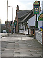
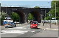
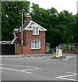
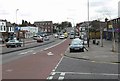
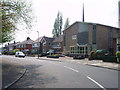
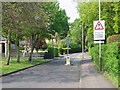
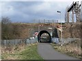
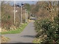
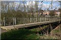
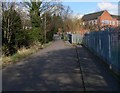
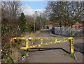
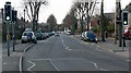
98 photos from this area
Area Information
Key information about the LE2 6EF including its size, population, and administrative classification.
- Area Type
- Postcode
- Area Size
- 6115 m²
- Population
- 2005
- Population Density
- 5941 people/km²
House Prices in LE2 6EF
27
Properties
£168,867
Average Sold Price
£50,000
Lowest Price
£270,000
Highest Price
Showing 27 properties
| Address | Type | Beds | Baths | Last Sale Price | Last Sale Date | |
|---|---|---|---|---|---|---|
| 15 Shelley Street, Leicester, LE2 6EF | Terraced | 2 | 1 | £250,000 | Mar 2025 | |
| 3 Shelley Street, Leicester, LE2 6EF | Terraced | 2 | 2 | £194,500 | Jan 2024 | |
| 11 Shelley Street, Leicester, LE2 6EF | Terraced | 2 | 1 | £175,000 | Dec 2023 | |
| 1 Shelley Street, Leicester, LE2 6EF | Terraced | 4 | 2 | £270,000 | Mar 2023 | |
| 18 Shelley Street, Leicester, LE2 6EF | house | - | - | £250,000 | Mar 2023 | |
| 20 Shelley Street, Leicester, LE2 6EF | Terraced | 3 | 1 | £150,000 | Feb 2023 | |
| 14 Shelley Street, Leicester, LE2 6EF | Terraced | 2 | 1 | £217,111 | Jul 2022 | |
| 2 Shelley Street, Leicester, LE2 6EF | Terraced | 2 | 1 | £180,000 | Mar 2021 | |
| 6 Shelley Street, Leicester, LE2 6EF | Terraced | 2 | - | £190,500 | Jan 2021 | |
| 12 Shelley Street, Leicester, LE2 6EF | Terraced | 2 | 1 | £162,500 | Oct 2018 |
Page 1 of 3
Energy Efficiency in LE2 6EF
Amenities
Schools
| Rank | School | Type | Entry gender | Ages |
|---|
Explore more schools in this area
Go to Schools tabDemographics
Household Size
Family (3-5 people)
most common
Accommodation Type
Houses
most common
Tenure
37
majority
Ethnic Group
White
most common
Religion
N/A
most common
Household Composition
N/A
most common
Age
22
median
Young Adults (15-29 years)
most common
Household Deprivation
N/A
with no deprivation
NS-SEC
14
in Lower managerial occupations
Explore more demographic insights in this area
Go to Demographics tabPlanning
Planning Constraints
- Flood RiskPremium
- Ramsar Wetland SitesPremium
- Area of Outstanding Natural BeautyPremium
- Protected Nature ReservePremium
- Protected WoodlandPremium