Area Overview for LE2 6DG
Photos of LE2 6DG
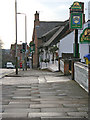
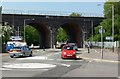
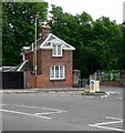
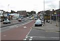
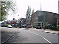
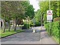
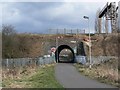
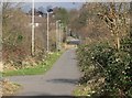
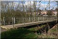
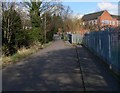
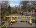
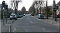
98 photos from this area
Area Information
Key information about the LE2 6DG including its size, population, and administrative classification.
- Area Type
- Postcode
- Area Size
- 1.2 hectares
- Population
- 2323
- Population Density
- 3623 people/km²
House Prices in LE2 6DG
19
Properties
£142,444
Average Sold Price
£94,000
Lowest Price
£205,000
Highest Price
Showing 19 properties
| Address | Type | Beds | Baths | Last Sale Price | Last Sale Date | |
|---|---|---|---|---|---|---|
| 101 Heather Road, Leicester, LE2 6DG | Semi-detached | 3 | 1 | £167,500 | May 2020 | |
| 95 Heather Road, Leicester, LE2 6DG | house | 3 | 1 | £185,000 | Dec 2019 | |
| 105 Heather Road, Leicester, LE2 6DG | Semi-detached | 3 | 1 | £205,000 | Sep 2019 | |
| 107 Heather Road, Leicester, LE2 6DG | Semi-detached | 3 | - | £118,000 | May 2014 | |
| 113 Heather Road, Leicester, LE2 6DG | Semi-detached | 3 | 1 | £119,000 | Apr 2014 | |
| 103 Heather Road, Leicester, LE2 6DG | Semi-detached | 3 | 1 | £148,500 | Mar 2014 | |
| 85 Heather Road, Leicester, LE2 6DG | Semi-detached | 3 | - | £125,000 | Dec 2013 | |
| 111 Heather Road, Leicester, LE2 6DG | house | 3 | - | £120,000 | Jun 2006 | |
| 97 Heather Road, Leicester, LE2 6DG | Semi-detached | - | - | £94,000 | Oct 2003 | |
| 115 Heather Road, Leicester, LE2 6DG | house | - | - | - | - |
Page 1 of 2
Energy Efficiency in LE2 6DG
Amenities
Schools
| Rank | School | Type | Entry gender | Ages |
|---|
Explore more schools in this area
Go to Schools tabDemographics
Household Size
One person
most common
Accommodation Type
Houses
most common
Tenure
45
majority
Ethnic Group
White
most common
Religion
N/A
most common
Household Composition
N/A
most common
Age
22
median
Adults (30-64 years)
most common
Household Deprivation
N/A
with no deprivation
NS-SEC
25
in Lower managerial occupations
Explore more demographic insights in this area
Go to Demographics tabPlanning
Planning Constraints
- Flood RiskPremium
- Ramsar Wetland SitesPremium
- Area of Outstanding Natural BeautyPremium
- Protected Nature ReservePremium
- Protected WoodlandPremium