Area Overview for LE2 4UX
Photos of LE2 4UX
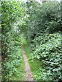
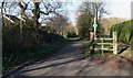
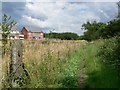
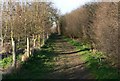
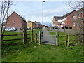
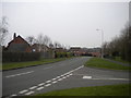
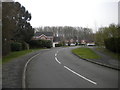
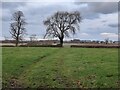
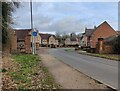
24 photos from this area
Area Information
Key information about the LE2 4UX including its size, population, and administrative classification.
- Area Type
- Postcode
- Area Size
- 4.2 hectares
- Population
- 1969
- Population Density
- 1755 people/km²
House Prices in LE2 4UX
48
Properties
£207,532
Average Sold Price
£82,500
Lowest Price
£430,000
Highest Price
Showing 48 properties
| Address | Type | Beds | Baths | Last Sale Price | Last Sale Date | |
|---|---|---|---|---|---|---|
| 8 Smore Slade Hills, Oadby, LE2 4UX | Detached | 4 | 2 | £410,000 | Dec 2025 | |
| 23 Smore Slade Hills, Oadby, LE2 4UX | Detached | 4 | 2 | £430,000 | Jan 2025 | |
| 26 Smore Slade Hills, Oadby, LE2 4UX | Detached | 4 | 2 | £367,500 | May 2024 | |
| 14 Smore Slade Hills, Oadby, LE2 4UX | Detached | 4 | - | £425,000 | Apr 2022 | |
| 61 Smore Slade Hills, Oadby, LE2 4UX | house | - | - | £381,100 | Feb 2022 | |
| 31 Smore Slade Hills, Oadby, LE2 4UX | house | - | - | £385,000 | Apr 2021 | |
| 25 Smore Slade Hills, Oadby, LE2 4UX | Detached | 4 | 3 | £421,500 | Mar 2021 | |
| 30 Smore Slade Hills, Oadby, LE2 4UX | Detached | 3 | 1 | £278,000 | Dec 2020 | |
| 16 Smore Slade Hills, Oadby, LE2 4UX | Detached | 3 | 1 | £287,000 | Jan 2019 | |
| 43 Smore Slade Hills, Oadby, LE2 4UX | Detached | 4 | - | £383,000 | Oct 2018 |
Page 1 of 5
Energy Efficiency in LE2 4UX
Amenities
Schools
| Rank | School | Type | Entry gender | Ages |
|---|
Explore more schools in this area
Go to Schools tabDemographics
Household Size
Family (3-5 people)
most common
Accommodation Type
Houses
most common
Tenure
81
majority
Ethnic Group
asian_total
most common
Religion
N/A
most common
Household Composition
N/A
most common
Age
47
median
Adults (30-64 years)
most common
Household Deprivation
N/A
with no deprivation
NS-SEC
48
in Lower managerial occupations
Explore more demographic insights in this area
Go to Demographics tabPlanning
Planning Constraints
- Flood RiskPremium
- Ramsar Wetland SitesPremium
- Area of Outstanding Natural BeautyPremium
- Protected Nature ReservePremium
- Protected WoodlandPremium