Area Overview for LE2 4FL
Photos of LE2 4FL
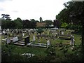
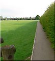
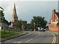
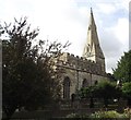
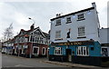

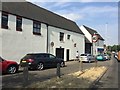
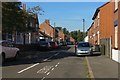
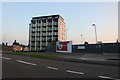

80 photos from this area
Area Information
Key information about the LE2 4FL including its size, population, and administrative classification.
- Area Type
- Postcode
- Area Size
- 3.8 hectares
- Population
- 1420
- Population Density
- 1367 people/km²
House Prices in LE2 4FL
55
Properties
£417,250
Average Sold Price
£106,000
Lowest Price
£939,500
Highest Price
Showing 55 properties
| Address | Type | Beds | Baths | Last Sale Price | Last Sale Date | |
|---|---|---|---|---|---|---|
| 50 Stoughton Road, Oadby, LE2 4FL | Detached | 6 | 3 | £800,000 | Mar 2025 | |
| 54 Stoughton Road, Oadby, LE2 4FL | Bungalow | - | - | £675,000 | May 2024 | |
| 28 Stoughton Road, Oadby, LE2 4FL | Detached | - | - | £475,000 | Mar 2017 | |
| 34 Stoughton Road, Oadby, LE2 4FL | house | - | - | £325,000 | Nov 2016 | |
| 26 Stoughton Road, Oadby, LE2 4FL | Bungalow | 4 | 2 | £394,000 | Sep 2016 | |
| 40 Stoughton Road, Oadby, LE2 4FL | house | - | - | £220,000 | Jun 2014 | |
| Merano, 52 Stoughton Road, Oadby, LE2 4FL | Detached | 6 | - | £939,500 | Jul 2012 | |
| 72 Stoughton Road, Oadby, LE2 4FL | house | 5 | - | £468,000 | Jun 2011 | |
| 44 Stoughton Road, Oadby, LE2 4FL | Detached | - | - | £245,000 | Apr 2010 | |
| 46 Stoughton Road, Oadby, LE2 4FL | Semi-detached | - | - | £194,500 | Feb 2006 |
Page 1 of 6
Energy Efficiency in LE2 4FL
Amenities
Schools
| Rank | School | Type | Entry gender | Ages |
|---|
Explore more schools in this area
Go to Schools tabDemographics
Household Size
Family (3-5 people)
most common
Accommodation Type
Houses
most common
Tenure
87
majority
Ethnic Group
asian_total
most common
Religion
N/A
most common
Household Composition
N/A
most common
Age
47
median
Adults (30-64 years)
most common
Household Deprivation
N/A
with no deprivation
NS-SEC
49
in Lower managerial occupations
Explore more demographic insights in this area
Go to Demographics tabPlanning
Planning Constraints
- Flood RiskPremium
- Ramsar Wetland SitesPremium
- Area of Outstanding Natural BeautyPremium
- Protected Nature ReservePremium
- Protected WoodlandPremium