Area Overview for LE2 3LH
Photos of LE2 3LH
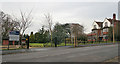
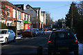
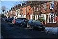
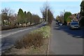
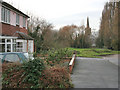
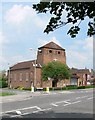
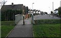
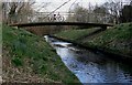
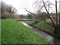
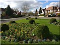
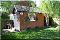
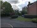
49 photos from this area
Area Information
Key information about the LE2 3LH including its size, population, and administrative classification.
- Area Type
- Postcode
- Area Size
- 1.4 hectares
- Population
- 1451
- Population Density
- 4505 people/km²
House Prices in LE2 3LH
33
Properties
£400,936
Average Sold Price
£147,000
Lowest Price
£708,500
Highest Price
Showing 33 properties
| Address | Type | Beds | Baths | Last Sale Price | Last Sale Date | |
|---|---|---|---|---|---|---|
| 2 Ridgway Road, Leicester, LE2 3LH | Detached | 4 | 2 | £708,500 | Jun 2024 | |
| 37 Ridgway Road, Leicester, LE2 3LH | Semi-detached | 4 | 3 | £480,000 | Oct 2023 | |
| 39 Ridgway Road, Leicester, LE2 3LH | Terraced | 4 | 3 | £525,000 | Sep 2022 | |
| 13 Ridgway Road, Leicester, LE2 3LH | Semi-detached | 4 | 3 | £565,000 | Aug 2022 | |
| 4 Ridgway Road, Leicester, LE2 3LH | Detached | 3 | - | £470,000 | Jun 2021 | |
| 8 Ridgway Road, Leicester, LE2 3LH | house | 3 | - | £510,000 | Nov 2020 | |
| 45 Ridgway Road, Leicester, LE2 3LH | Semi-detached | 3 | - | £385,000 | Sep 2019 | |
| 41 Ridgway Road, Leicester, LE2 3LH | house | - | - | £390,000 | Sep 2019 | |
| 27 Ridgway Road, Leicester, LE2 3LH | house | - | - | £400,000 | Feb 2019 | |
| 35 Ridgway Road, Leicester, LE2 3LH | Semi-detached | 4 | 3 | £396,000 | Nov 2017 |
Page 1 of 4
Energy Efficiency in LE2 3LH
Amenities
Schools
| Rank | School | Type | Entry gender | Ages |
|---|
Explore more schools in this area
Go to Schools tabDemographics
Household Size
Two person
most common
Accommodation Type
Houses
most common
Tenure
72
majority
Ethnic Group
White
most common
Religion
N/A
most common
Household Composition
N/A
most common
Age
47
median
Adults (30-64 years)
most common
Household Deprivation
N/A
with no deprivation
NS-SEC
54
in Lower managerial occupations
Explore more demographic insights in this area
Go to Demographics tabPlanning
Planning Constraints
- Flood RiskPremium
- Ramsar Wetland SitesPremium
- Area of Outstanding Natural BeautyPremium
- Protected Nature ReservePremium
- Protected WoodlandPremium