Area Overview for LE2 1RD
Photos of LE2 1RD
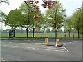
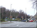
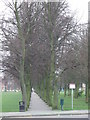
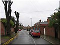
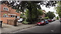
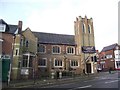
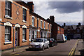


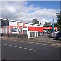
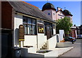
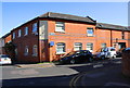
86 photos from this area
Area Information
Key information about the LE2 1RD including its size, population, and administrative classification.
- Area Type
- Postcode
- Area Size
- 1.2 hectares
- Population
- 2048
- Population Density
- 7953 people/km²
House Prices in LE2 1RD
31
Properties
£191,867
Average Sold Price
£65,500
Lowest Price
£395,000
Highest Price
Showing 31 properties
| Address | Type | Beds | Baths | Last Sale Price | Last Sale Date | |
|---|---|---|---|---|---|---|
| 14 Elmfield Avenue, Leicester, LE2 1RD | house | - | - | £197,844 | Jul 2025 | |
| 32 Elmfield Avenue, Leicester, LE2 1RD | Flat | - | - | £220,000 | Apr 2023 | |
| 38 Elmfield Avenue, Leicester, LE2 1RD | Flat | - | - | £240,000 | Mar 2023 | |
| 18 Elmfield Avenue, Leicester, LE2 1RD | Detached | 3 | 1 | £285,000 | Mar 2023 | |
| 18A Elmfield Avenue, Leicester, LE2 1RD | Detached | 3 | 1 | £395,000 | Dec 2022 | |
| 28 Elmfield Avenue, Leicester, LE2 1RD | Flat | - | - | £205,500 | Apr 2022 | |
| 24 Elmfield Avenue, Leicester, LE2 1RD | Flat | - | - | £173,500 | Jun 2021 | |
| 22 Elmfield Avenue, Leicester, LE2 1RD | Flat | - | - | £171,500 | Jun 2021 | |
| 52 Elmfield Avenue, Leicester, LE2 1RD | Semi-detached | 5 | 1 | £365,000 | Oct 2019 | |
| 50 Elmfield Avenue, Leicester, LE2 1RD | house | - | - | £220,000 | Aug 2018 |
Page 1 of 4
Energy Efficiency in LE2 1RD
Amenities
Schools
| Rank | School | Type | Entry gender | Ages |
|---|
Explore more schools in this area
Go to Schools tabDemographics
Household Size
Family (3-5 people)
most common
Accommodation Type
Houses
most common
Tenure
51
majority
Ethnic Group
asian_total
most common
Religion
N/A
most common
Household Composition
N/A
most common
Age
47
median
Adults (30-64 years)
most common
Household Deprivation
N/A
with no deprivation
NS-SEC
24
in Lower managerial occupations
Explore more demographic insights in this area
Go to Demographics tabPlanning
Planning Constraints
- Flood RiskPremium
- Ramsar Wetland SitesPremium
- Area of Outstanding Natural BeautyPremium
- Protected Nature ReservePremium
- Protected WoodlandPremium