Area Overview for LE2 0AL
Photos of LE2 0AL

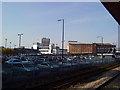
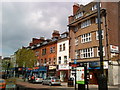
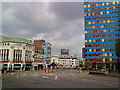
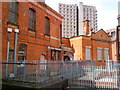
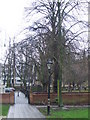
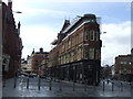
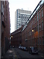
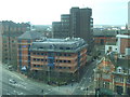
100 photos from this area
Area Information
Key information about the LE2 0AL including its size, population, and administrative classification.
- Area Type
- Postcode
- Area Size
- 4694 m²
- Population
- 1819
- Population Density
- 26173 people/km²
House Prices in LE2 0AL
32
Properties
£126,250
Average Sold Price
£33,500
Lowest Price
£330,000
Highest Price
Showing 32 properties
| Address | Type | Beds | Baths | Last Sale Price | Last Sale Date | |
|---|---|---|---|---|---|---|
| 12 Keythorpe Street, Leicester, LE2 0AL | house | - | - | £330,000 | May 2025 | |
| 15 Keythorpe Street, Leicester, LE2 0AL | Terraced | - | - | £320,000 | Sep 2024 | |
| 37 Keythorpe Street, Leicester, LE2 0AL | house | 3 | 2 | £217,000 | May 2019 | |
| 41 Keythorpe Street, Leicester, LE2 0AL | Terraced | 3 | 2 | £140,000 | Sep 2011 | |
| 33 Keythorpe Street, Leicester, LE2 0AL | Terraced | - | - | £104,000 | Aug 2006 | |
| 2 Keythorpe Street, Leicester, LE2 0AL | Terraced | 2 | 1 | £90,000 | May 2006 | |
| 31 Keythorpe Street, Leicester, LE2 0AL | Terraced | - | - | £114,500 | May 2004 | |
| 18 Keythorpe Street, Leicester, LE2 0AL | house | - | - | £40,000 | May 2001 | |
| 19 Keythorpe Street, Leicester, LE2 0AL | house | - | - | £45,000 | Jun 1999 | |
| 8 Keythorpe Street, Leicester, LE2 0AL | house | - | - | £36,000 | May 1999 |
Page 1 of 4
Energy Efficiency in LE2 0AL
Amenities
Schools
| Rank | School | Type | Entry gender | Ages |
|---|
Explore more schools in this area
Go to Schools tabDemographics
Household Size
Family (3-5 people)
most common
Accommodation Type
Houses
most common
Tenure
49
majority
Ethnic Group
asian_total
most common
Religion
N/A
most common
Household Composition
N/A
most common
Age
47
median
Adults (30-64 years)
most common
Household Deprivation
N/A
with no deprivation
NS-SEC
12
in Lower managerial occupations
Explore more demographic insights in this area
Go to Demographics tabPlanning
Planning Constraints
- Flood RiskPremium
- Ramsar Wetland SitesPremium
- Area of Outstanding Natural BeautyPremium
- Protected Nature ReservePremium
- Protected WoodlandPremium