Area Overview for LE19 2HB
Photos of LE19 2HB
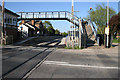
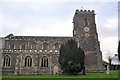
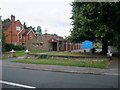
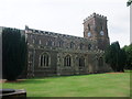
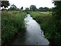
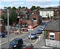
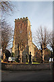
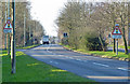
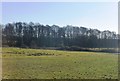
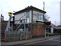
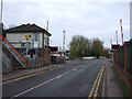
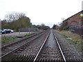
42 photos from this area
Area Information
Key information about the LE19 2HB including its size, population, and administrative classification.
- Area Type
- Postcode
- Area Size
- 4499 m²
- Population
- 1845
- Population Density
- 1710 people/km²
House Prices in LE19 2HB
13
Properties
£138,246
Average Sold Price
£84,950
Lowest Price
£242,000
Highest Price
Showing 13 properties
| Address | Type | Beds | Baths | Last Sale Price | Last Sale Date | |
|---|---|---|---|---|---|---|
| 1 Bell Lane, Narborough, LE19 2HB | Semi-detached | 3 | - | £195,000 | Aug 2017 | |
| 11 Bell Lane, Narborough, LE19 2HB | Terraced | 2 | - | £171,000 | Jul 2016 | |
| 10 Bell Lane, Narborough, LE19 2HB | Semi-detached | 3 | 1 | £174,000 | Feb 2015 | |
| 6 Bell Lane, Narborough, LE19 2HB | house | 3 | - | £100,000 | Oct 2012 | |
| 15 Bell Lane, Narborough, LE19 2HB | house | 2 | - | £109,000 | Mar 2011 | |
| 4 Bell Lane, Narborough, LE19 2HB | house | - | - | £120,000 | Jun 2007 | |
| 2 Bell Lane, Narborough, LE19 2HB | house | 4 | - | £242,000 | May 2007 | |
| 8 Bell Lane, Narborough, LE19 2HB | house | - | - | £152,500 | Aug 2006 | |
| 13 Bell Lane, Narborough, LE19 2HB | Terraced | - | - | £124,500 | Aug 2006 | |
| 3 Bell Lane, Narborough, LE19 2HB | Semi-detached | - | - | £100,000 | Jul 2003 |
Page 1 of 2
Energy Efficiency in LE19 2HB
Amenities
Schools
| Rank | School | Type | Entry gender | Ages |
|---|
Explore more schools in this area
Go to Schools tabDemographics
Household Size
One person
most common
Accommodation Type
Houses
most common
Tenure
72
majority
Ethnic Group
White
most common
Religion
N/A
most common
Household Composition
N/A
most common
Age
47
median
Adults (30-64 years)
most common
Household Deprivation
N/A
with no deprivation
NS-SEC
40
in Lower managerial occupations
Explore more demographic insights in this area
Go to Demographics tabPlanning
Planning Constraints
- Flood RiskPremium
- Ramsar Wetland SitesPremium
- Area of Outstanding Natural BeautyPremium
- Protected Nature ReservePremium
- Protected WoodlandPremium