Area Overview for LE19 2DJ
Photos of LE19 2DJ
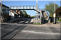
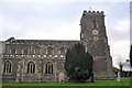
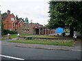
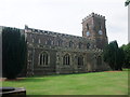
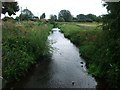
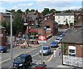
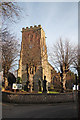
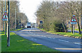
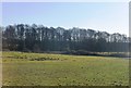
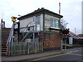
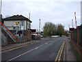
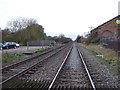
42 photos from this area
Area Information
Key information about the LE19 2DJ including its size, population, and administrative classification.
- Area Type
- Postcode
- Area Size
- 9477 m²
- Population
- 1845
- Population Density
- 1710 people/km²
House Prices in LE19 2DJ
26
Properties
£194,411
Average Sold Price
£47,950
Lowest Price
£425,000
Highest Price
Showing 26 properties
| Address | Type | Beds | Baths | Last Sale Price | Last Sale Date | |
|---|---|---|---|---|---|---|
| 23 Regent Street, Narborough, LE19 2DJ | Terraced | 2 | 1 | £210,000 | May 2025 | |
| 18 Regent Street, Narborough, LE19 2DJ | Bungalow | 3 | - | £425,000 | Feb 2024 | |
| 13A Regent Street, Narborough, LE19 2DJ | Detached | 4 | 2 | £340,000 | Dec 2023 | |
| 12 Regent Street, Narborough, LE19 2DJ | Semi-detached | 3 | 1 | £255,000 | Nov 2023 | |
| 8 Regent Street, Narborough, LE19 2DJ | house | - | - | £249,999 | Nov 2022 | |
| 16 Regent Street, Narborough, LE19 2DJ | Retail | 3 | 1 | £232,000 | Aug 2022 | |
| 1A Regent Street, Narborough, LE19 2DJ | house | - | - | £220,000 | Dec 2021 | |
| 10 Regent Street, Narborough, LE19 2DJ | house | - | - | £165,000 | Jan 2018 | |
| 5 Regent Street, Narborough, LE19 2DJ | Bungalow | 3 | - | £297,000 | Sep 2016 | |
| 29 Regent Street, Narborough, LE19 2DJ | Semi-detached | 3 | - | £160,000 | May 2015 |
Page 1 of 3
Energy Efficiency in LE19 2DJ
Amenities
Schools
| Rank | School | Type | Entry gender | Ages |
|---|
Explore more schools in this area
Go to Schools tabDemographics
Household Size
One person
most common
Accommodation Type
Houses
most common
Tenure
72
majority
Ethnic Group
White
most common
Religion
N/A
most common
Household Composition
N/A
most common
Age
47
median
Adults (30-64 years)
most common
Household Deprivation
N/A
with no deprivation
NS-SEC
40
in Lower managerial occupations
Explore more demographic insights in this area
Go to Demographics tabPlanning
Planning Constraints
- Flood RiskPremium
- Ramsar Wetland SitesPremium
- Area of Outstanding Natural BeautyPremium
- Protected Nature ReservePremium
- Protected WoodlandPremium