Area Overview for LE18 4ST
Photos of LE18 4ST
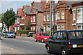
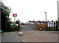
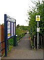
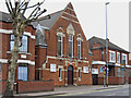
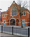
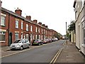
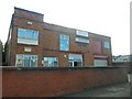
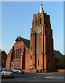
57 photos from this area
Area Information
Key information about the LE18 4ST including its size, population, and administrative classification.
- Area Type
- Postcode
- Area Size
- 1.1 hectares
- Population
- 1666
- Population Density
- 3417 people/km²
House Prices in LE18 4ST
46
Properties
£142,454
Average Sold Price
£64,000
Lowest Price
£335,994
Highest Price
Showing 46 properties
| Address | Type | Beds | Baths | Last Sale Price | Last Sale Date | |
|---|---|---|---|---|---|---|
| 157 Kirkdale Road, Wigston, LE18 4ST | house | - | - | £175,000 | Jul 2025 | |
| 175 Kirkdale Road, Wigston, LE18 4ST | Terraced | 2 | 1 | £165,000 | Jan 2025 | |
| 117 Kirkdale Road, Wigston, LE18 4ST | Terraced | 3 | 1 | £195,000 | Dec 2022 | |
| 131 Kirkdale Road, Wigston, LE18 4ST | Terraced | 3 | - | £131,000 | Jun 2022 | |
| 153 Kirkdale Road, Wigston, LE18 4ST | Terraced | 2 | 1 | £195,000 | Jan 2022 | |
| 169 Kirkdale Road, Wigston, LE18 4ST | Terraced | 3 | 1 | £154,000 | Apr 2021 | |
| 119 Kirkdale Road, Wigston, LE18 4ST | house | - | - | £132,000 | Mar 2021 | |
| 187 Kirkdale Road, Wigston, LE18 4ST | Terraced | 2 | 1 | £80,000 | Jan 2021 | |
| 101 Kirkdale Road, Wigston, LE18 4ST | house | 3 | 1 | £105,000 | Feb 2019 | |
| 173 Kirkdale Road, Wigston, LE18 4ST | house | 3 | - | £110,000 | Feb 2019 |
Page 1 of 5
Energy Efficiency in LE18 4ST
Amenities
Schools
| Rank | School | Type | Entry gender | Ages |
|---|
Explore more schools in this area
Go to Schools tabDemographics
Household Size
One person
most common
Accommodation Type
Houses
most common
Tenure
47
majority
Ethnic Group
White
most common
Religion
N/A
most common
Household Composition
N/A
most common
Age
47
median
Adults (30-64 years)
most common
Household Deprivation
N/A
with no deprivation
NS-SEC
25
in Lower managerial occupations
Explore more demographic insights in this area
Go to Demographics tabPlanning
Planning Constraints
- Flood RiskPremium
- Ramsar Wetland SitesPremium
- Area of Outstanding Natural BeautyPremium
- Protected Nature ReservePremium
- Protected WoodlandPremium