Area Overview for LE18 3RE
Photos of LE18 3RE
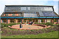
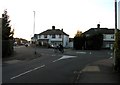
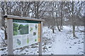
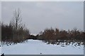
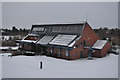
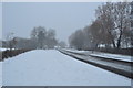
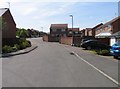
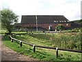
29 photos from this area
Area Information
Key information about the LE18 3RE including its size, population, and administrative classification.
- Area Type
- Postcode
- Area Size
- 1.9 hectares
- Population
- 1777
- Population Density
- 4524 people/km²
House Prices in LE18 3RE
51
Properties
£190,936
Average Sold Price
£43,329
Lowest Price
£350,000
Highest Price
Showing 51 properties
| Address | Type | Beds | Baths | Last Sale Price | Last Sale Date | |
|---|---|---|---|---|---|---|
| 29 Estoril Avenue, Wigston, LE18 3RE | Terraced | 3 | 1 | £257,000 | Jun 2025 | |
| 43 Estoril Avenue, Wigston, LE18 3RE | Terraced | 3 | 1 | £246,000 | Jul 2024 | |
| 7 Estoril Avenue, Wigston, LE18 3RE | Terraced | 3 | 1 | £237,000 | Feb 2023 | |
| 39 Estoril Avenue, Wigston, LE18 3RE | Terraced | 3 | - | £230,000 | Nov 2022 | |
| 73 Estoril Avenue, Wigston, LE18 3RE | Semi-detached | 3 | - | £325,000 | Mar 2022 | |
| 85 Estoril Avenue, Wigston, LE18 3RE | house | - | - | £327,500 | Jun 2021 | |
| 87 Estoril Avenue, Wigston, LE18 3RE | house | - | - | £340,000 | May 2021 | |
| 79 Estoril Avenue, Wigston, LE18 3RE | house | - | - | £284,000 | Mar 2021 | |
| 37 Estoril Avenue, Wigston, LE18 3RE | Semi-detached | 3 | 1 | £185,000 | Sep 2020 | |
| 13 Estoril Avenue, Wigston, LE18 3RE | Semi-detached | 3 | 1 | £212,000 | Jun 2020 |
Page 1 of 6
Energy Efficiency in LE18 3RE
Amenities
Schools
| Rank | School | Type | Entry gender | Ages |
|---|
Explore more schools in this area
Go to Schools tabDemographics
Household Size
Family (3-5 people)
most common
Accommodation Type
Houses
most common
Tenure
92
majority
Ethnic Group
White
most common
Religion
N/A
most common
Household Composition
N/A
most common
Age
47
median
Adults (30-64 years)
most common
Household Deprivation
N/A
with no deprivation
NS-SEC
35
in Lower managerial occupations
Explore more demographic insights in this area
Go to Demographics tabPlanning
Planning Constraints
- Flood RiskPremium
- Ramsar Wetland SitesPremium
- Area of Outstanding Natural BeautyPremium
- Protected Nature ReservePremium
- Protected WoodlandPremium