Area Overview for LE18 2HX
Photos of LE18 2HX
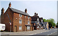
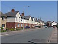
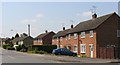
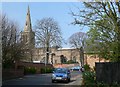
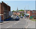
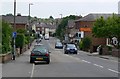
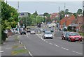
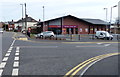
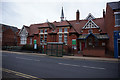
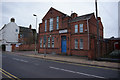
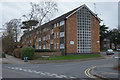
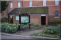
82 photos from this area
Area Information
Key information about the LE18 2HX including its size, population, and administrative classification.
- Area Type
- Postcode
- Area Size
- 1.3 hectares
- Population
- 1419
- Population Density
- 5103 people/km²
House Prices in LE18 2HX
38
Properties
£158,240
Average Sold Price
£53,500
Lowest Price
£350,000
Highest Price
Showing 38 properties
| Address | Type | Beds | Baths | Last Sale Price | Last Sale Date | |
|---|---|---|---|---|---|---|
| 43 Penzance Avenue, Wigston, LE18 2HX | Semi-detached | 4 | 1 | £350,000 | Jun 2025 | |
| 69 Penzance Avenue, Wigston, LE18 2HX | Semi-detached | 3 | 1 | £250,000 | Nov 2022 | |
| 63 Penzance Avenue, Wigston, LE18 2HX | house | - | - | £255,000 | Aug 2021 | |
| 15 Penzance Avenue, Wigston, LE18 2HX | Bungalow | - | - | £185,000 | Jan 2021 | |
| 21 Penzance Avenue, Wigston, LE18 2HX | Semi-detached | 3 | 1 | £200,000 | Jun 2020 | |
| 41 Penzance Avenue, Wigston, LE18 2HX | Semi-detached | 5 | 1 | £247,000 | Apr 2020 | |
| 55 Penzance Avenue, Wigston, LE18 2HX | Bungalow | - | - | £190,000 | Feb 2019 | |
| 39 Penzance Avenue, Wigston, LE18 2HX | Semi-detached | 4 | 1 | £190,000 | Dec 2018 | |
| 19 Penzance Avenue, Wigston, LE18 2HX | Semi-detached | 3 | 1 | £156,000 | Dec 2017 | |
| 49 Penzance Avenue, Wigston, LE18 2HX | house | - | - | £170,000 | Aug 2017 |
Page 1 of 4
Energy Efficiency in LE18 2HX
Amenities
Schools
| Rank | School | Type | Entry gender | Ages |
|---|
Explore more schools in this area
Go to Schools tabDemographics
Household Size
Two person
most common
Accommodation Type
Houses
most common
Tenure
89
majority
Ethnic Group
White
most common
Religion
N/A
most common
Household Composition
N/A
most common
Age
47
median
Adults (30-64 years)
most common
Household Deprivation
N/A
with no deprivation
NS-SEC
30
in Lower managerial occupations
Explore more demographic insights in this area
Go to Demographics tabPlanning
Planning Constraints
- Flood RiskPremium
- Ramsar Wetland SitesPremium
- Area of Outstanding Natural BeautyPremium
- Protected Nature ReservePremium
- Protected WoodlandPremium