Area Overview for LE18 1NJ
Photos of LE18 1NJ
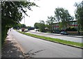
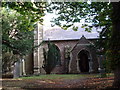
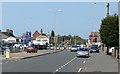
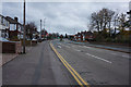
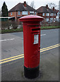
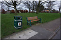
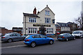
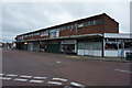
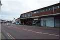
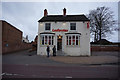
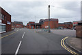
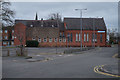
53 photos from this area
Area Information
Key information about the LE18 1NJ including its size, population, and administrative classification.
- Area Type
- Postcode
- Area Size
- 1.4 hectares
- Population
- 1630
- Population Density
- 4213 people/km²
House Prices in LE18 1NJ
40
Properties
£163,132
Average Sold Price
£57,000
Lowest Price
£425,000
Highest Price
Showing 40 properties
| Address | Type | Beds | Baths | Last Sale Price | Last Sale Date | |
|---|---|---|---|---|---|---|
| 45 Eastway Road, Wigston, LE18 1NJ | Bungalow | - | - | £425,000 | Jan 2023 | |
| 46 Eastway Road, Wigston, LE18 1NJ | house | - | - | £306,000 | Feb 2021 | |
| 50 Eastway Road, Wigston, LE18 1NJ | Semi-detached | 3 | - | £230,000 | Sep 2020 | |
| 60 Eastway Road, Wigston, LE18 1NJ | Semi-detached | 3 | 1 | £250,000 | Sep 2020 | |
| 55 Eastway Road, Wigston, LE18 1NJ | Bungalow | - | - | £220,000 | Aug 2020 | |
| 56 Eastway Road, Wigston, LE18 1NJ | Semi-detached | 3 | 1 | £180,000 | Jul 2019 | |
| 57 Eastway Road, Wigston, LE18 1NJ | Bungalow | 2 | 1 | £170,000 | Feb 2019 | |
| 67 Eastway Road, Wigston, LE18 1NJ | Semi-detached | 4 | - | £240,000 | Jun 2017 | |
| 82 Eastway Road, Wigston, LE18 1NJ | house | - | - | £168,000 | Sep 2016 | |
| 54 Eastway Road, Wigston, LE18 1NJ | Semi-detached | 3 | 1 | £150,000 | Jul 2015 |
Page 1 of 4
Energy Efficiency in LE18 1NJ
Amenities
Schools
| Rank | School | Type | Entry gender | Ages |
|---|
Explore more schools in this area
Go to Schools tabDemographics
Household Size
Two person
most common
Accommodation Type
Houses
most common
Tenure
80
majority
Ethnic Group
White
most common
Religion
N/A
most common
Household Composition
N/A
most common
Age
47
median
Adults (30-64 years)
most common
Household Deprivation
N/A
with no deprivation
NS-SEC
32
in Lower managerial occupations
Explore more demographic insights in this area
Go to Demographics tabPlanning
Planning Constraints
- Flood RiskPremium
- Ramsar Wetland SitesPremium
- Area of Outstanding Natural BeautyPremium
- Protected Nature ReservePremium
- Protected WoodlandPremium