Area Overview for LE17 5RP
Photos of LE17 5RP
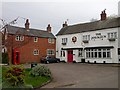
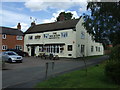
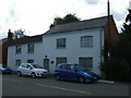
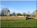
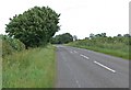
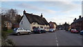
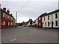
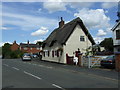
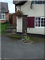
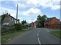
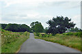
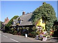
12 photos from this area
Area Information
Key information about the LE17 5RP including its size, population, and administrative classification.
- Area Type
- Postcode
- Area Size
- 35.7 hectares
- Population
- 2351
- Population Density
- 53 people/km²
House Prices in LE17 5RP
35
Properties
£312,532
Average Sold Price
£125,950
Lowest Price
£780,000
Highest Price
Showing 35 properties
| Address | Type | Beds | Baths | Last Sale Price | Last Sale Date | |
|---|---|---|---|---|---|---|
| Orchards, Hall Lane, Walton, LE17 5RP | Bungalow | 6 | 3 | £780,000 | Feb 2023 | |
| 45 Hall Lane, Walton, LE17 5RP | Semi-detached | 3 | 2 | £215,000 | Oct 2021 | |
| 37 Hall Lane, Walton, LE17 5RP | house | - | - | £145,000 | Aug 2021 | |
| 1 Hall Lane, Walton, LE17 5RP | house | - | - | £220,000 | May 2021 | |
| Sheraton, Hall Lane, Walton, LE17 5RP | Terraced | 3 | - | £198,000 | Apr 2020 | |
| Cheriton House, Hall Lane, Walton, LE17 5RP | Detached | 4 | 1 | £665,000 | Jun 2019 | |
| Pandora, Hall Lane, Walton, LE17 5RP | Detached | 4 | 2 | £381,000 | Nov 2018 | |
| 5 Hall Lane, Walton, LE17 5RP | Semi-detached | 3 | 1 | £238,000 | Jul 2018 | |
| Cruck Cottage, Hall Lane, Walton, LE17 5RP | house | - | - | £445,000 | Nov 2017 | |
| Old Forge Cottage, Hall Lane, Walton, LE17 5RP | house | - | - | £330,000 | Apr 2015 |
Page 1 of 4
Energy Efficiency in LE17 5RP
Amenities
Schools
| Rank | School | Type | Entry gender | Ages |
|---|
Explore more schools in this area
Go to Schools tabDemographics
Household Size
Two person
most common
Accommodation Type
Houses
most common
Tenure
84
majority
Ethnic Group
White
most common
Religion
N/A
most common
Household Composition
N/A
most common
Age
47
median
Adults (30-64 years)
most common
Household Deprivation
N/A
with no deprivation
NS-SEC
43
in Lower managerial occupations
Explore more demographic insights in this area
Go to Demographics tabPlanning
Planning Constraints
- Flood RiskPremium
- Ramsar Wetland SitesPremium
- Area of Outstanding Natural BeautyPremium
- Protected Nature ReservePremium
- Protected WoodlandPremium