Area Overview for LE17 5PG
Photos of LE17 5PG
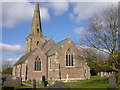
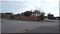
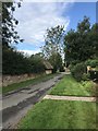
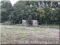
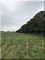
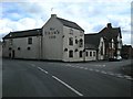
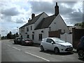
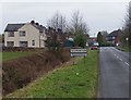
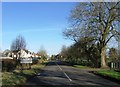
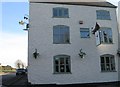
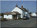
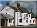
18 photos from this area
Area Information
Key information about the LE17 5PG including its size, population, and administrative classification.
- Area Type
- Postcode
- Area Size
- 1.3 hectares
- Population
- 2982
- Population Density
- 59 people/km²
House Prices in LE17 5PG
17
Properties
£329,264
Average Sold Price
£113,950
Lowest Price
£801,000
Highest Price
Showing 17 properties
| Address | Type | Beds | Baths | Last Sale Price | Last Sale Date | |
|---|---|---|---|---|---|---|
| Church Mead, Lynmouth Drive, Gilmorton, LE17 5PG | Detached | 5 | 4 | £801,000 | Sep 2025 | |
| 16 Lynmouth Drive, Gilmorton, LE17 5PG | house | - | - | £485,000 | Mar 2022 | |
| 7 Lynmouth Drive, Gilmorton, LE17 5PG | house | - | - | £460,000 | Mar 2021 | |
| 3 Lynmouth Drive, Gilmorton, LE17 5PG | Detached | 4 | - | £310,000 | Jan 2015 | |
| 12 Lynmouth Drive, Gilmorton, LE17 5PG | Detached | 4 | - | £270,000 | Apr 2014 | |
| 14 Lynmouth Drive, Gilmorton, LE17 5PG | house | - | - | £305,000 | Feb 2014 | |
| 10 Lynmouth Drive, Gilmorton, LE17 5PG | house | 4 | - | £237,000 | Feb 2013 | |
| 2 Lynmouth Drive, Gilmorton, LE17 5PG | Detached | - | - | £245,000 | Oct 2004 | |
| 6 Lynmouth Drive, Gilmorton, LE17 5PG | Detached | - | - | £235,000 | Apr 2004 | |
| 11 Lynmouth Drive, Gilmorton, LE17 5PG | Detached | - | - | £159,950 | Jan 2001 |
Page 1 of 2
Energy Efficiency in LE17 5PG
Amenities
Schools
| Rank | School | Type | Entry gender | Ages |
|---|
Explore more schools in this area
Go to Schools tabDemographics
Household Size
Two person
most common
Accommodation Type
Houses
most common
Tenure
80
majority
Ethnic Group
White
most common
Religion
N/A
most common
Household Composition
N/A
most common
Age
47
median
Adults (30-64 years)
most common
Household Deprivation
N/A
with no deprivation
NS-SEC
46
in Lower managerial occupations
Explore more demographic insights in this area
Go to Demographics tabPlanning
Planning Constraints
- Flood RiskPremium
- Ramsar Wetland SitesPremium
- Area of Outstanding Natural BeautyPremium
- Protected Nature ReservePremium
- Protected WoodlandPremium