Area Overview for LE17 5BN
Photos of LE17 5BN
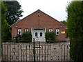
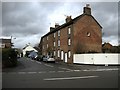
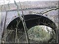
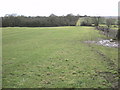
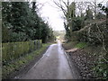
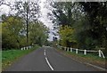


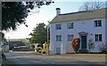
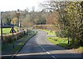
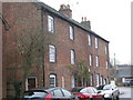
57 photos from this area
Area Information
Key information about the LE17 5BN including its size, population, and administrative classification.
- Area Type
- Postcode
- Area Size
- 28.7 hectares
- Population
- 2557
- Population Density
- 109 people/km²
House Prices in LE17 5BN
29
Properties
£553,556
Average Sold Price
£135,000
Lowest Price
£1,100,000
Highest Price
Showing 29 properties
| Address | Type | Beds | Baths | Last Sale Price | Last Sale Date | |
|---|---|---|---|---|---|---|
| Warren Farm, Manor Road, Ullesthorpe, LE17 5BN | Bungalow | 5 | 3 | £925,000 | Apr 2023 | |
| Sarahs Orchard, Manor Road, Ullesthorpe, LE17 5BN | Detached | 4 | 2 | £630,000 | Oct 2022 | |
| Old Manor Farm, Manor Road, Ullesthorpe, LE17 5BN | house | 4 | 2 | £560,000 | Mar 2022 | |
| Melvaig, Manor Road, Ullesthorpe, LE17 5BN | Bungalow | - | - | £555,000 | Jun 2021 | |
| The Bungalow, Manor Road, Ullesthorpe, LE17 5BN | Bungalow | - | - | £370,000 | Jun 2021 | |
| The Hollow, Manor Road, Ullesthorpe, LE17 5BN | Cottage | 3 | 2 | £1,100,000 | May 2021 | |
| Fairfield, Manor Road, Ullesthorpe, LE17 5BN | Bungalow | - | - | £420,000 | Mar 2021 | |
| Penylan, Manor Road, Ullesthorpe, LE17 5BN | Bungalow | 2 | 1 | £287,000 | Apr 2019 | |
| Old Post Office, Manor Road, Ullesthorpe, LE17 5BN | house | - | - | £135,000 | Mar 2009 | |
| 2, Manor Cottage, Manor Road, Ullesthorpe, LE17 5BN | undefined | - | - | - | - |
Page 1 of 3
Energy Efficiency in LE17 5BN
Amenities
Schools
| Rank | School | Type | Entry gender | Ages |
|---|
Explore more schools in this area
Go to Schools tabDemographics
Household Size
Two person
most common
Accommodation Type
Houses
most common
Tenure
80
majority
Ethnic Group
White
most common
Religion
N/A
most common
Household Composition
N/A
most common
Age
47
median
Adults (30-64 years)
most common
Household Deprivation
N/A
with no deprivation
NS-SEC
43
in Lower managerial occupations
Explore more demographic insights in this area
Go to Demographics tabPlanning
Planning Constraints
- Flood RiskPremium
- Ramsar Wetland SitesPremium
- Area of Outstanding Natural BeautyPremium
- Protected Nature ReservePremium
- Protected WoodlandPremium