Area Overview for LE16 9PD
Photos of LE16 9PD


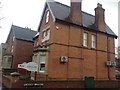


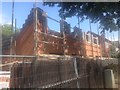
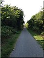
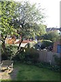
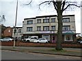
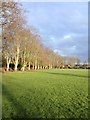
69 photos from this area
Area Information
Key information about the LE16 9PD including its size, population, and administrative classification.
- Area Type
- Postcode
- Area Size
- 6143 m²
- Population
- 1385
- Population Density
- 4144 people/km²
House Prices in LE16 9PD
24
Properties
£233,994
Average Sold Price
£75,500
Lowest Price
£380,000
Highest Price
Showing 24 properties
| Address | Type | Beds | Baths | Last Sale Price | Last Sale Date | |
|---|---|---|---|---|---|---|
| 3 Nithsdale Avenue, Market Harborough, LE16 9PD | house | - | - | £322,883 | Nov 2024 | |
| 31 Nithsdale Avenue, Market Harborough, LE16 9PD | house | - | - | £360,000 | Mar 2023 | |
| 29 Nithsdale Avenue, Market Harborough, LE16 9PD | house | - | - | £340,000 | Jan 2023 | |
| 35 Nithsdale Avenue, Market Harborough, LE16 9PD | Terraced | 3 | - | £367,000 | Dec 2022 | |
| 43 Nithsdale Avenue, Market Harborough, LE16 9PD | Semi-detached | 4 | 3 | £380,000 | Sep 2020 | |
| 5 Nithsdale Avenue, Market Harborough, LE16 9PD | house | - | - | £277,500 | Feb 2020 | |
| 37 Nithsdale Avenue, Market Harborough, LE16 9PD | Terraced | 3 | 1 | £285,000 | Jun 2017 | |
| 19 Nithsdale Avenue, Market Harborough, LE16 9PD | house | 3 | - | £268,000 | Apr 2016 | |
| 21 Nithsdale Avenue, Market Harborough, LE16 9PD | Semi-detached | 3 | - | £185,000 | Jun 2014 | |
| 47 Nithsdale Avenue, Market Harborough, LE16 9PD | Semi-detached | 3 | - | £189,000 | Nov 2013 |
Page 1 of 3
Energy Efficiency in LE16 9PD
Amenities
Schools
| Rank | School | Type | Entry gender | Ages |
|---|
Explore more schools in this area
Go to Schools tabDemographics
Household Size
Two person
most common
Accommodation Type
Houses
most common
Tenure
64
majority
Ethnic Group
White
most common
Religion
N/A
most common
Household Composition
N/A
most common
Age
47
median
Adults (30-64 years)
most common
Household Deprivation
N/A
with no deprivation
NS-SEC
38
in Lower managerial occupations
Explore more demographic insights in this area
Go to Demographics tabPlanning
Planning Constraints
- Flood RiskPremium
- Ramsar Wetland SitesPremium
- Area of Outstanding Natural BeautyPremium
- Protected Nature ReservePremium
- Protected WoodlandPremium