Area Overview for LE16 8TY
Photos of LE16 8TY
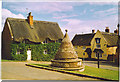
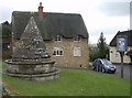
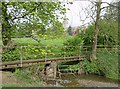
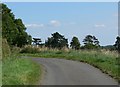
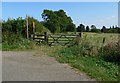
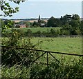
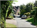
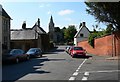
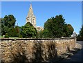
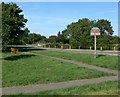
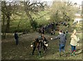
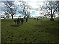
87 photos from this area
Area Information
Key information about the LE16 8TY including its size, population, and administrative classification.
- Area Type
- Postcode
- Area Size
- 14.2 hectares
- Population
- 2378
- Population Density
- 41 people/km²
House Prices in LE16 8TY
25
Properties
£551,500
Average Sold Price
£270,000
Lowest Price
£1,510,000
Highest Price
Showing 25 properties
| Address | Type | Beds | Baths | Last Sale Price | Last Sale Date | |
|---|---|---|---|---|---|---|
| 18 Churchgate, Hallaton, LE16 8TY | Cottage | 2 | 1 | £270,000 | Jan 2025 | |
| Saddle House, 6A Churchgate, Hallaton, LE16 8TY | Terraced | - | - | £320,000 | May 2023 | |
| 21 Churchgate, Hallaton, LE16 8TY | house | - | - | £375,000 | Sep 2021 | |
| 6 Churchgate, Hallaton, LE16 8TY | house | 3 | 1 | £350,000 | Aug 2021 | |
| The Old Rectory, Churchgate, Hallaton, LE16 8TY | Detached | 6 | 5 | £1,510,000 | Jun 2019 | |
| 15 Churchgate, Hallaton, LE16 8TY | house | 5 | - | £780,000 | Sep 2012 | |
| 36 Churchgate, Hallaton, LE16 8TY | house | 2 | - | £317,000 | Mar 2012 | |
| Old Glebe Farm, 23 Churchgate, Hallaton, LE16 8TY | house | - | - | £490,000 | Dec 2009 | |
| Vine Cottage, 34 Churchgate, Hallaton, LE16 8TY | Cottage | 2 | 1 | - | - | |
| 16 Churchgate, Hallaton, LE16 8TY | Terraced | 4 | 2 | - | - |
Page 1 of 3
Energy Efficiency in LE16 8TY
Amenities
Schools
| Rank | School | Type | Entry gender | Ages |
|---|
Explore more schools in this area
Go to Schools tabDemographics
Household Size
Two person
most common
Accommodation Type
Houses
most common
Tenure
80
majority
Ethnic Group
White
most common
Religion
N/A
most common
Household Composition
N/A
most common
Age
47
median
Adults (30-64 years)
most common
Household Deprivation
N/A
with no deprivation
NS-SEC
46
in Lower managerial occupations
Explore more demographic insights in this area
Go to Demographics tabPlanning
Planning Constraints
- Flood RiskPremium
- Ramsar Wetland SitesPremium
- Area of Outstanding Natural BeautyPremium
- Protected Nature ReservePremium
- Protected WoodlandPremium