Area Overview for LE16 8PL
Photos of LE16 8PL
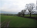

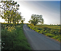

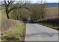
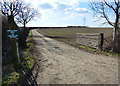
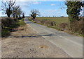
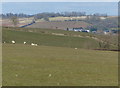
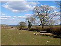
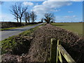
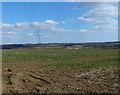
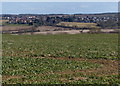
17 photos from this area
Area Information
Key information about the LE16 8PL including its size, population, and administrative classification.
- Area Type
- Postcode
- Area Size
- 3.5 km²
- Population
- 2268
- Population Density
- 39 people/km²
House Prices in LE16 8PL
11
Properties
£497,107
Average Sold Price
£223,500
Lowest Price
£730,000
Highest Price
Showing 11 properties
| Address | Type | Beds | Baths | Last Sale Price | Last Sale Date | |
|---|---|---|---|---|---|---|
| 3 Ashley Road, Stoke Albany, LE16 8PL | Detached | 4 | 1 | £472,035 | Apr 2018 | |
| 3A Ashley Road, Stoke Albany, LE16 8PL | Detached | 6 | - | £730,000 | Aug 2013 | |
| 17 Ashley Road, Stoke Albany, LE16 8PL | Detached | - | - | £700,000 | Feb 2007 | |
| 1 Ashley Road, Stoke Albany, LE16 8PL | Detached | 4 | - | £360,000 | Aug 2003 | |
| The Old Coach House, Ashley Road, Stoke Albany, LE16 8PL | house | 4 | - | £223,500 | Jul 2002 | |
| The Fairways Flat, Stoke Albany Golf Club, Ashley Road, Stoke Albany, LE16 8PL | Flat | - | - | - | - | |
| The Barn Flat, The Manor House, Ashley Road, Stoke Albany, LE16 8PL | Flat | - | - | - | - | |
| Stable Flat, The Manor House, Ashley Road, Stoke Albany, LE16 8PL | Flat | 1 | - | - | - | |
| Lower Lodge Farm, Ashley Road, Stoke Albany, LE16 8PL | Bungalow | - | - | - | - | |
| New Dwelling, Stoke Albany Golf Club, Ashley Road, Stoke Albany, LE16 8PL | Semi-detached | - | - | - | - |
Page 1 of 2
Energy Efficiency in LE16 8PL
Amenities
Schools
| Rank | School | Type | Entry gender | Ages |
|---|
Explore more schools in this area
Go to Schools tabDemographics
Household Size
Two person
most common
Accommodation Type
Houses
most common
Tenure
81
majority
Ethnic Group
White
most common
Religion
N/A
most common
Household Composition
N/A
most common
Age
47
median
Adults (30-64 years)
most common
Household Deprivation
N/A
with no deprivation
NS-SEC
44
in Lower managerial occupations
Explore more demographic insights in this area
Go to Demographics tabPlanning
Planning Constraints
- Flood RiskPremium
- Ramsar Wetland SitesPremium
- Area of Outstanding Natural BeautyPremium
- Protected Nature ReservePremium
- Protected WoodlandPremium