Area Overview for LE15 9BX
Photos of LE15 9BX
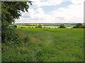
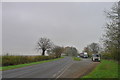
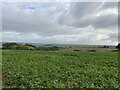
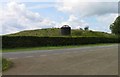
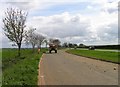
27 photos from this area
Area Information
Key information about the LE15 9BX including its size, population, and administrative classification.
- Area Type
- Postcode
- Area Size
- 48.9 hectares
- Population
- 1341
- Population Density
- 39 people/km²
House Prices in LE15 9BX
14
Properties
£540,625
Average Sold Price
£172,500
Lowest Price
£950,000
Highest Price
Showing 14 properties
| Address | Type | Beds | Baths | Last Sale Price | Last Sale Date | |
|---|---|---|---|---|---|---|
| Pippins, Spring Lane, Glaston, LE15 9BX | house | - | - | £790,000 | Dec 2024 | |
| 11 Spring Lane, Glaston, LE15 9BX | Cottage | 2 | 1 | £350,000 | Aug 2024 | |
| Glaston House, Spring Lane, Glaston, LE15 9BX | Detached | 7 | 4 | £950,000 | Oct 2023 | |
| The Old Orchard, Spring Lane, Glaston, LE15 9BX | house | - | - | £800,000 | Mar 2021 | |
| Thatch Farm, 4 Spring Lane, Glaston, LE15 9BX | Detached | 5 | - | £712,500 | Mar 2015 | |
| Little Barn, 7A Spring Lane, Glaston, LE15 9BX | Bungalow | - | - | £260,000 | Oct 2010 | |
| 9 Spring Lane, Glaston, LE15 9BX | Semi-detached | - | - | £290,000 | Nov 2004 | |
| Three Springs, 1 Spring Lane, Glaston, LE15 9BX | Detached | 4 | 1 | £172,500 | Oct 1997 | |
| The Park House, Spring Lane, Glaston, LE15 9BX | Detached | - | - | - | - | |
| 3 Spring Lane, Glaston, LE15 9BX | Detached | - | - | - | - |
Page 1 of 2
Energy Efficiency in LE15 9BX
Amenities
Schools
| Rank | School | Type | Entry gender | Ages |
|---|
Explore more schools in this area
Go to Schools tabDemographics
Household Size
Two person
most common
Accommodation Type
Houses
most common
Tenure
83
majority
Ethnic Group
White
most common
Religion
N/A
most common
Household Composition
N/A
most common
Age
47
median
Adults (30-64 years)
most common
Household Deprivation
N/A
with no deprivation
NS-SEC
51
in Lower managerial occupations
Explore more demographic insights in this area
Go to Demographics tabPlanning
Planning Constraints
- Flood RiskPremium
- Ramsar Wetland SitesPremium
- Area of Outstanding Natural BeautyPremium
- Protected Nature ReservePremium
- Protected WoodlandPremium